Marroig Pons
Marroig Pons is a driving school in Palma de Mallorca, Balearic Islands, Balearic Islands. Marroig Pons is situated nearby to plaça de Ca n’Alonso, as well as near the community center Arxiduc.| Tap on a place to explore it |
Places of Interest Nearby
Highlights include Palma Intermodal Station and Son Costa/Son Fortesa station.
Palma Intermodal Station
Railway station
 Palma Intermodal Station is the main railway station of Palma on the island of Majorca, Spain. It is located at the Plaça d'Espanya in the centre of the city and is also known as Palma Plaça d'Espanya. Palma Intermodal Station is situated 790 metres south of Marroig Pons.
Son Costa/Son Fortesa station
Railway station
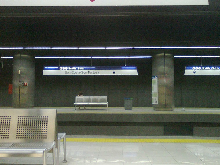
Photo: Josep Arias i López, CC BY-SA 3.0.
Son Costa / Son Fortesa is an underground station of Serveis Ferroviaris de Mallorca and Palma Metro in Palma on the island of Majorca, Spain. The station is located at the northeasterly end of Miguel Fleta Street. Son Costa/Son Fortesa station is situated 780 metres east of Marroig Pons.
Jacint Verdaguer station
Railway stop
Jacint Verdaguer is an underground station of Serveis Ferroviaris de Mallorca and Palma Metro in Palma on the island of Majorca, Spain. The station is located under Jacint Verdaguer Street between Jaume Balmes Street and Plaça de Santa Elisabet. Jacint Verdaguer station is situated 450 metres southeast of Marroig Pons.
Places in the Area
Nearby places include L’Olivera and Els Hostalets.


Marroig Pons
- Type: Driving school
- Category: transportation
- Location: Palma de Mallorca, Balearic Islands, Mallorca, Balearic Islands, Spain, Iberia, Europe
- View on OpenStreetMap
Latitude
39.58327° or 39° 34′ 60″ northLongitude
2.65681° or 2° 39′ 25″ eastOpen location code
8FF4HMM4+8POpenStreetMap ID
node 9743003432OpenStreetMap feature
amenity=driving_school
This page is based on OpenStreetMap, Wikidata, and Wikimedia Commons.
We’d love your help improving our open data sources. Thank you for contributing.
Satellite Map
Discover Marroig Pons from above in high-definition satellite imagery.
Notable Places Nearby
Highlights include plaça de Ca n’Alonso and Arxiduc.
Nearby Places
Explore places such as Bertoldo and Coliseu.
Mallorca: Must-Visit Destinations
Delve into Alcúdia, Calvià, Deia, and Alaró.
Curious Driving Schools to Discover
Uncover intriguing driving schools from every corner of the globe.
About Mapcarta. Data © OpenStreetMap contributors and available under the Open Database License". Text is available under the CC BY-SA 4.0 license, except for photos, directions, and the map. Photo: Sebastian Leitz, Public domain.