Mont des Ifs Rappel
Mont des Ifs Rappel is in Le Frasnois, Arrondissement of Lons-le-Saunier, Bourgogne-Franche-Comté. Mont des Ifs Rappel is situated nearby to the lake Lac du Petit Maclu, as well as near Réservoir d’eau communal.| Tap on a place to explore it |
Places of Interest Nearby
Highlights include Lacs de Maclu and Église Saints-Claude-et-Roch du Frasnois.
Lacs de Maclu
Lake

Photo: Christophe.Finot, CC BY-SA 2.5.
Lacs de Maclu are two lakes at Le Frasnois in the Jura department of France. The Grand Lac Maclu has a surface area of 21 ha and a length of 1.1 km with a maximum width of 300 m.
Église Saints-Claude-et-Roch du Frasnois
Church

Photo: KlausFoehl, CC BY-SA 4.0.
Église Saints-Claude-et-Roch du Frasnois is a church, which is situated 1¼ km west of Mont des Ifs Rappel.
Pic de l’Aigle
Peak

Photo: Wikimedia, CC BY-SA 2.0.
Pic de l’Aigle is a peak, which is situated 2½ km south of Mont des Ifs Rappel.
Places in the Area
Nearby places include Entre-deux-Monts and Chaux-des-Crotenay.
Entre-deux-Monts
Village

Photo: Pmau, CC BY-SA 4.0.
Entre-deux-Monts is a commune in the Jura department in Bourgogne-Franche-Comté in eastern France. Entre-deux-Monts is situated 4½ km east of Mont des Ifs Rappel.
Chaux-des-Crotenay
Village

Photo: Esprit Fugace, CC0.
Chaux-des-Crotenay is a commune in the Jura department in Bourgogne-Franche-Comté in eastern France. Chaux-des-Crotenay is situated 4½ km northeast of Mont des Ifs Rappel.
Fort-du-Plasne
Village
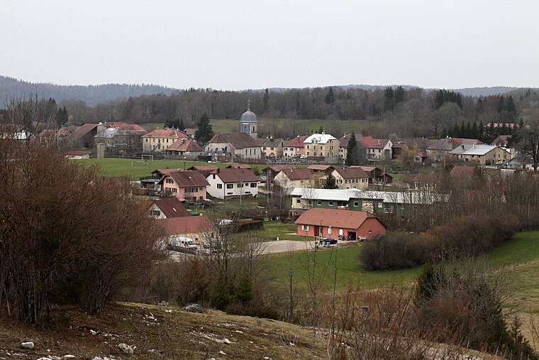
Photo: Pmau, CC BY-SA 4.0.
Fort-du-Plasne is a commune in the Jura department in Bourgogne-Franche-Comté in eastern France. Fort-du-Plasne is situated 6 km east of Mont des Ifs Rappel.
Mont des Ifs Rappel
- Type: Sign
- Categories: information and tourism
- Location: Le Frasnois, Arrondissement of Lons-le-Saunier, Jura, Bourgogne-Franche-Comté, France, Europe
- View on OpenStreetMap
Latitude
46.63652° or 46° 38′ 12″ northLongitude
5.91451° or 5° 54′ 52″ eastElevation
786 metres (2,579 feet)Open location code
8FR7JWP7+JROpenStreetMap ID
node 9772907629OpenStreetMap feature
tourism=information
This page is based on OpenStreetMap, Wikidata, and Wikimedia Commons.
We’d love your help improving our open data sources. Thank you for contributing.
Satellite Map
Discover Mont des Ifs Rappel from above in high-definition satellite imagery.
Notable Places Nearby
Highlights include Lac du Petit Maclu and Réservoir d’eau communal.
Nearby Places
Explore places such as Mont des Ifs and Lac du petit Maclu.
Bourgogne-Franche-Comté: Must-Visit Destinations
Delve into Nièvre, Dijon, Besançon, and Vesoul.
Curious Places to Discover
Uncover intriguing places from every corner of the globe.
About Mapcarta. Data © OpenStreetMap contributors and available under the Open Database License". Text is available under the CC BY-SA 4.0 license, except for photos, directions, and the map. Photo: Juraastro, CC BY-SA 3.0.