Am Königsdorfer Weg
Am Königsdorfer Weg is a locality in Kerpen, Rhein-Erft-Kreis, North Rhine-Westphalia. Am Königsdorfer Weg is situated nearby to the locality Horremer Bruch, as well as near Holzhauserbusch.| Tap on a place to explore it |
Places of Interest
Highlights include Horrem station and Burg Hemmersbach.
Horrem station
Railway station

Photo: Tohma, CC BY-SA 4.0.
Horrem station is a station in the Kerpen district of Horrem in the German state of North Rhine-Westphalia. It is a railway junction of the Cologne–Aachen high-speed railway and the Erft Railway.


Places in the Area
Nearby places include Neu-Bottenbroich and Horrem.


Sindorf
Town
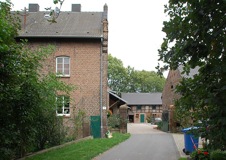
Photo: Achim Raschka, CC BY-SA 4.0.
Sindorf is a town, which is situated 4½ km southwest of Am Königsdorfer Weg.
Am Königsdorfer Weg
- Type: Locality
- Location: Kerpen, Rhein-Erft-Kreis, Cologne District, North Rhine-Westphalia, Germany, Central Europe, Europe
- View on OpenStreetMap
Latitude
50.92463° or 50° 55′ 29″ northLongitude
6.72842° or 6° 43′ 42″ eastOpen location code
9F28WPFH+V9OpenStreetMap ID
node 9774828940OpenStreetMap feature
place=locality
This page is based on OpenStreetMap, Wikidata, and Wikimedia Commons.
We’d love your help improving our open data sources. Thank you for contributing.
Satellite Map
Discover Am Königsdorfer Weg from above in high-definition satellite imagery.
Localities in the Area
Explore places such as Horremer Bruch and Holzhauserbusch.
Notable Places Nearby
Highlights include Rotschlamm-Deponie Tummelfeld (in Rekultivierung) and Heilig Geist Kirche.
North Rhine-Westphalia: Must-Visit Destinations
Delve into Cologne, Düsseldorf, Bonn, and Dortmund.
Curious Localities to Discover
Uncover intriguing localities from every corner of the globe.
About Mapcarta. Data © OpenStreetMap contributors and available under the Open Database License". Text is available under the CC BY-SA 4.0 license, except for photos, directions, and the map. Photo: Daniel Schwen, CC BY-SA 2.5.