Les Mas de Guerrevieille
Les Mas de Guerrevieille is a hamlet in Grimaud, Arrondissement of Draguignan, Provence-Alpes-Côte d’Azur. Les Mas de Guerrevieille is situated nearby to the locality Pointe Alègre, as well as near La Grande Pointe.| Tap on a place to explore it |
Places of Interest
Highlights include Église Sainte-Maxime de Sainte-Maxime and Gendarmerie and Cinema Museum of Saint-Tropez.
Église Sainte-Maxime de Sainte-Maxime
Church

Photo: Patricia.fidi, Public domain.
Église Sainte-Maxime de Sainte-Maxime is a church, which is situated 2½ km east of Les Mas de Guerrevieille.
Gendarmerie and Cinema Museum of Saint-Tropez
Museum

Photo: FR, CC BY-SA 4.0.
Gendarmerie and Cinema Museum of Saint-Tropez is situated 4 km southeast of Les Mas de Guerrevieille.
Annonciade Museum
Museum
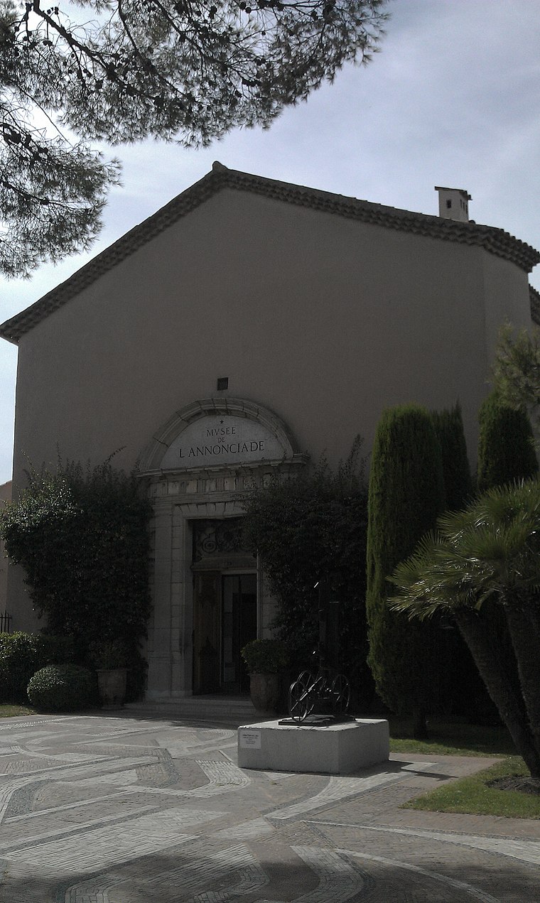
Photo: Helicoman, CC BY-SA 3.0.
Annonciade Museum is situated 4 km southeast of Les Mas de Guerrevieille.
Places in the Area
Nearby places include Sainte-Maxime and Saint-Tropez.
Sainte-Maxime
Town
Photo: Patricia.fidi, Public domain.
Sainte-Maxime is a commune in the Var department of the Provence-Alpes-Côte d'Azur region in Southeastern France. Located on the French Riviera, 90 km west from Nice and 130 km east from Marseille, it had a population of 14,394 in 2022.
Saint-Tropez

Photo: Ryodo477, CC BY-SA 3.0.
Saint-Tropez is a commune in the Var department and the region of Provence-Alpes-Côte d'Azur, Southern France. It is 68 kilometres west of Nice and 100 kilometres east of Marseille, on the French Riviera, of which it is one of the best-known towns.
Gassin
Village

Photo: Cotedazur, Public domain.
Gassin is a commune in the Var department in the Provence-Alpes-Côte d'Azur region in southeastern France. It is a member of Les Plus Beaux Villages de France Association. Gassin is situated 8 km south of Les Mas de Guerrevieille.
Les Mas de Guerrevieille
- Type: Hamlet
- Category: locality
- Location: Grimaud, Arrondissement of Draguignan, Var, Provence-Alpes-Côte d’Azur, France, Europe
- View on OpenStreetMap
Latitude
43.30092° or 43° 18′ 3″ northLongitude
6.61178° or 6° 36′ 42″ eastOpen location code
8FM88J26+9POpenStreetMap ID
node 9799074890OpenStreetMap feature
place=hamlet
This page is based on OpenStreetMap, Wikidata, and Wikimedia Commons.
We’d love your help improving our open data sources. Thank you for contributing.
Satellite Map
Discover Les Mas de Guerrevieille from above in high-definition satellite imagery.
Localities in the Area
Explore places such as Pointe Alègre and La Grande Pointe.
Notable Places Nearby
Highlights include Place du Bastidon and Plage des Cigales.
Var: Must-Visit Destinations
Delve into Toulon, Saint-Tropez, Hyères, and Fréjus.
Curious Hamlets to Discover
Uncover intriguing hamlets from every corner of the globe.
About Mapcarta. Data © OpenStreetMap contributors and available under the Open Database License". Text is available under the CC BY-SA 4.0 license, except for photos, directions, and the map. Photo: Omondi, CC BY-SA 4.0.