Y-Talo, Seinäjoen terveyskeskus
Y-Talo, Seinäjoen terveyskeskus is a hospital in Seinäjoki, Southern Ostrobothnia which is located on Koskenalantie. Y-Talo, Seinäjoen terveyskeskus is situated nearby to the hospital Seinäjoen keskussairaala, Y-rakennus, as well as near Y-röntgen.| Tap on a place to explore it |
Places of Interest Nearby
Highlights include Seinäjoki Central Hospital and OmaSP Stadion.
Seinäjoki Central Hospital
Hospital
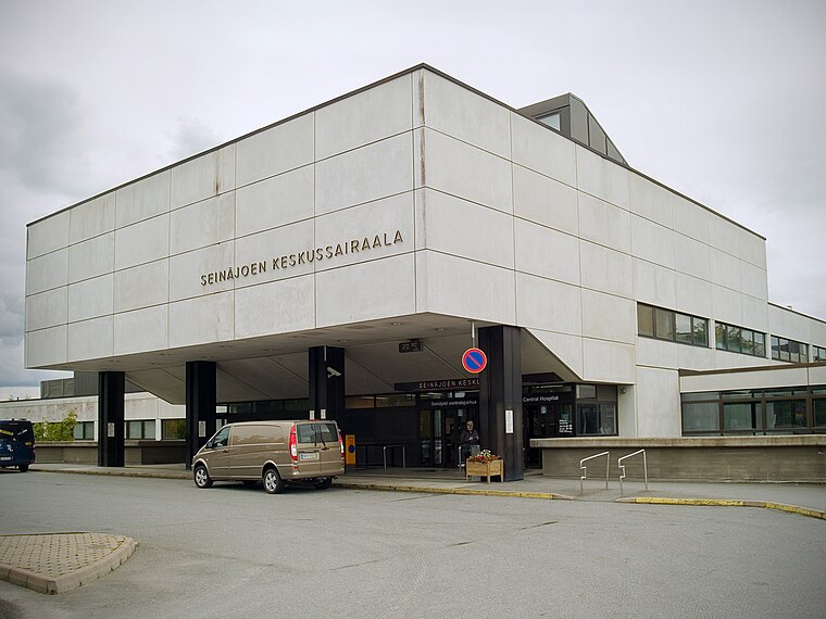
Photo: Kotivalo, CC BY-SA 3.0.
Seinäjoki Central Hospital is situated 140 metres southeast of Y-Talo, Seinäjoen terveyskeskus.
OmaSP Stadion
Stadium

Photo: Zunter, CC BY-SA 4.0.
OmaSP Stadion is a football stadium in Seinäjoki, Finland. It is the home stadium of SJK Seinäjoki of the Veikkausliiga. It is an all-seater stadium with a capacity of 6,075 spectators. OmaSP Stadion is situated 1 km north of Y-Talo, Seinäjoen terveyskeskus.
Piiri Church
Chapel

Photo: IdzSJL2, CC BY-SA 4.0.
Piiri Church is a chapel, which is situated 510 metres southeast of Y-Talo, Seinäjoen terveyskeskus.
Places in the Area
Nearby places include Törnävä and Tuomikylä.

Tuomikylä
Village

Photo: Kotivalo, CC BY-SA 3.0.
Tuomikylä is a village, which is situated 7 km southwest of Y-Talo, Seinäjoen terveyskeskus.
Pojanluoma
Village

Photo: Kotivalo, CC BY-SA 3.0.
Pojanluoma is a village, which is situated 10 km southwest of Y-Talo, Seinäjoen terveyskeskus.
Y-Talo, Seinäjoen terveyskeskus
- Type: Hospital
- Address: Koskenalantie 18
- Category: health care
- Location: Seinäjoki, Seinäjoki, Southern Ostrobothnia, West Coast, Finland, Nordic countries, Europe
- View on OpenStreetMap
Latitude
62.77141° or 62° 46′ 17″ northLongitude
22.81868° or 22° 49′ 7″ eastOpen location code
9GJ4QRC9+HFOpenStreetMap ID
node 9835085729OpenStreetMap feature
amenity=hospitalOpenStreetMap feature
healthcare=hospital
This page is based on OpenStreetMap, Wikidata, and Wikimedia Commons.
We’d love your help improving our open data sources. Thank you for contributing.
Satellite Map
Discover Y-Talo, Seinäjoen terveyskeskus from above in high-definition satellite imagery.
Notable Places Nearby
Highlights include Seinäjoen keskussairaala, Y-rakennus and Y-röntgen.
Nearby Places
Explore places such as P9 and Y-talo.
Southern Ostrobothnia: Must-Visit Destinations
Delve into Alavus, Kauhajoki, Alajärvi, and Lapua.
Curious Hospitals to Discover
Uncover intriguing hospitals from every corner of the globe.
About Mapcarta. Data © OpenStreetMap contributors and available under the Open Database License". Text is available under the CC BY-SA 4.0 license, except for photos, directions, and the map. Photo: Ypsilon from Finland, CC0.