Goumois Douane
Goumois Douane is a bus stop in Saignelégier, Franches-Montagnes District, Canton of Jura. Goumois Douane is situated nearby to the government office Douane Goumois, as well as near the bridge Pont de Goumois.| Tap on a place to explore it |
Places of Interest Nearby
Highlights include Église Notre-Dame-de-la-Nativité Goumois and Sommêtres.
Église Notre-Dame-de-la-Nativité Goumois
Church

Photo: Badener, CC BY-SA 3.0.
Église Notre-Dame-de-la-Nativité Goumois is a church, which is situated 460 metres west of Goumois Douane.
Sommêtres
Castle

Photo: Wikimedia, CC BY-SA 3.0.
The Sommêtres are a chain of rocks overlooking the Doubs, north of Le Noirmont in the canton of Canton of Jura. The Sommêtres are a popular climbing area. Sommêtres is situated 3 km south of Goumois Douane.
Chapelle Saint-Roch d’Urtière
Church

Photo: Sacamol, CC BY-SA 3.0.
Chapelle Saint-Roch d’Urtière is a church, which is situated 2 km west of Goumois Douane.
Places in the Area
Nearby places include Goumois and Urtière.
Urtière
Village

Photo: JGS25, CC BY-SA 4.0.
Urtière is a commune in the Doubs department in the Bourgogne-Franche-Comté region in eastern France.
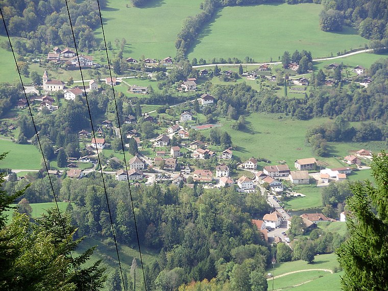
Muriaux
Village

Photo: Yesuitus2001, CC BY-SA 2.5.
Muriaux is a municipality in the district of Franches-Montagnes in the canton of Jura in Switzerland. On 1 January 2009, the formerly independent municipality of Le Peuchapatte merged into the municipality of Muriaux. Muriaux is situated 2½ km southeast of Goumois Douane.
Goumois Douane
- Type: Bus stop
- Category: transportation
- Location: Saignelégier, Franches-Montagnes District, Canton of Jura, Switzerland, Central Europe, Europe
- View on OpenStreetMap
Latitude
47.26144° or 47° 15′ 41″ northLongitude
6.95226° or 6° 57′ 8″ eastElevation
496 metres (1,627 feet)Operator
PAGNetwork
Onde Verte;VagabondOpen location code
8FV87X62+HWOpenStreetMap ID
node 983966574OpenStreetMap feature
highway=bus_stopOpenStreetMap feature
public_transport=platform
This page is based on OpenStreetMap, Wikidata, and Wikimedia Commons.
We’d love your help improving our open data sources. Thank you for contributing.
Satellite Map
Discover Goumois Douane from above in high-definition satellite imagery.
Notable Places Nearby
Highlights include Douane Goumois and Pont de Goumois.
Nearby Places
Explore places such as Navigation sur le Doubs and Vallée du Doubs – La Ronde des Verriers.
Switzerland: Must-Visit Destinations
Delve into Zurich, Berne, Geneva, and Basel.
Curious Bus Stops to Discover
Uncover intriguing bus stops from every corner of the globe.
About Mapcarta. Data © OpenStreetMap contributors and available under the Open Database License". Text is available under the CC BY-SA 4.0 license, except for photos, directions, and the map. Photo: Simonizer, CC BY-SA 2.0 de.