Schwyz Spital
Schwyz Spital is a bus stop in Schwyz, Canton of Schwyz. Schwyz Spital is situated nearby to the building House (Meinrad Inglin-House), as well as near the hospital Spital Schwyz.| Tap on a place to explore it |
Places of Interest Nearby
Highlights include Manor House Waldegg and Library of the Schwyz Canton.
Manor House Waldegg
Castle

Photo: F64.ch, CC BY-SA 3.0.
Manor House Waldegg is a castle, which is situated 340 metres east of Schwyz Spital.
Library of the Schwyz Canton
Library

Photo: Pakeha, CC BY-SA 4.0.
Library of the Schwyz Canton is situated 650 metres north of Schwyz Spital.
Archivturm
Castle

Photo: Paebi, CC BY-SA 3.0.
Archivturm is a castle, which is situated 570 metres northwest of Schwyz Spital.
Places in the Area
Nearby places include Rickenbach and Ibach.
Rickenbach
Village

Photo: Waldteufel78, CC BY-SA 3.0.
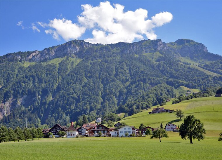
Rickenbach is a village in the municipality of Schwyz, itself in the canton of Schwyz in Switzerland. It lies some 1.5 km to the east of the town centre of Schwyz.
Ibach
Village

Photo: Waldteufel78, CC BY-SA 3.0 de.
Ibach is a village in the municipality of Schwyz, itself in the canton of Schwyz in Switzerland. It lies some 1.5 km to the south of the town centre of Schwyz, at the point where the road from Schwyz to Brunnen bridges the Muota river.
Schwyz Spital
- Type: Bus stop
- Categories: transport stop and transportation
- Location: Schwyz, Schwyz District, Canton of Schwyz, Central Switzerland, Switzerland, Central Europe, Europe
- View on OpenStreetMap
Latitude
47.01605° or 47° 0′ 58″ northLongitude
8.65786° or 8° 39′ 28″ eastElevation
506 metres (1,660 feet)Operator
AAGSNetwork
Tarifverbund SchwyzOpen location code
8FVC2M85+C4OpenStreetMap ID
node 984015339OpenStreetMap feature
highway=bus_stopOpenStreetMap feature
public_transport=stop_position
This page is based on OpenStreetMap, Wikidata, and Wikimedia Commons.
We’d love your help improving our open data sources. Thank you for contributing.
Satellite Map
Discover Schwyz Spital from above in high-definition satellite imagery.
Notable Places Nearby
Highlights include House (Meinrad Inglin-House) and Spital Schwyz.
Nearby Places
Explore places such as Schwyz, Spital and Friedhof Bifang.
Central Switzerland: Must-Visit Destinations
Delve into Lucerne, Stans, Sarnen, and Andermatt.
Curious Bus Stops to Discover
Uncover intriguing bus stops from every corner of the globe.
About Mapcarta. Data © OpenStreetMap contributors and available under the Open Database License". Text is available under the CC BY-SA 4.0 license, except for photos, directions, and the map. Photo: Ikiwaner, CC BY-SA 3.0.