Klosters, Höhwald
Klosters, Höhwald is a bus stop in Klosters, Region Prättigau / Davos, Graubünden and has an elevation of 1,150 metres. Klosters, Höhwald is situated nearby to the peak Usschlagbüel, as well as near Schildflue.| Tap on a place to explore it |
Places of Interest Nearby
Highlights include Klosters Platz railway station and Schildflue.
Klosters Platz railway station
Railway station

Photo: Liberal Freemason, CC BY-SA 3.0.
Klosters Platz railway station is located in the municipality of Klosters-Serneus in the district of Prattigau/Davos in the Swiss canton of Graubünden. Klosters Platz railway station is situated 3 km west of Klosters, Höhwald.
Schildflue
Peak
The Schildflue is a mountain of the Silvretta Alps, located east of Klosters in the canton of Graubünden. With an elevation of 2,887 metres above sea level, the Schildflue is the culminating point of the range that separates the Schlappintal from the valley of Monbiel. Schildflue is situated 3½ km northeast of Klosters, Höhwald.
Nutli Hüschi museum of local history (collection)
Museum

Photo: Parpan05, CC BY-SA 3.0.
Nutli Hüschi museum of local history (collection) is situated 3 km west of Klosters, Höhwald.
Places in the Area
Nearby places include Serneus.
Serneus
Village
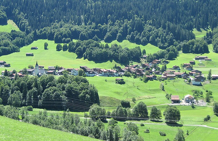
Photo: Parpan05, CC BY-SA 3.0.
Serneus is a village, which is situated 7 km northwest of Klosters, Höhwald.
Klosters, Höhwald
- Type: Bus stop
- Category: transportation
- Location: Klosters, Region Prättigau / Davos, Graubünden, Switzerland, Central Europe, Europe
- View on OpenStreetMap
Latitude
46.86131° or 46° 51′ 41″ northLongitude
9.91921° or 9° 55′ 9″ eastElevation
1,150 metres (3,773 feet)Operator
PAGOpen location code
8FRFVW69+GMOpenStreetMap ID
node 984712961OpenStreetMap feature
highway=bus_stopOpenStreetMap feature
public_transport=platform
This page is based on OpenStreetMap, Wikidata, and Wikimedia Commons.
We’d love your help improving our open data sources. Thank you for contributing.
Satellite Map
Discover Klosters, Höhwald from above in high-definition satellite imagery.
Notable Places Nearby
Highlights include Usschlagbüel and Kraftwerk Klosters.
Nearby Places
Explore places such as Höhwald and Klosters, Monbiel Parkplatz.
Graubünden: Must-Visit Destinations
Delve into Davos, Chur, St. Moritz, and Arosa.
Curious Bus Stops to Discover
Uncover intriguing bus stops from every corner of the globe.
About Mapcarta. Data © OpenStreetMap contributors and available under the Open Database License". Text is available under the CC BY-SA 4.0 license, except for photos, directions, and the map. Photo: Patrick Nouhailler’s…, CC BY-SA 3.0.