Carlos Fuero - Aldama
Carlos Fuero - Aldama is a bus stop in Guadalajara, Jalisco. Carlos Fuero - Aldama is situated nearby to the church Parroquia el Señor de la Misericordia, as well as near La Iglesia de Jesucristo de los Santos de los Últimos Días.| Tap on a place to explore it |
Places of Interest Nearby
Highlights include Cristóbal de Oñate and San Andrés.
Cristóbal de Oñate
Railway stop

Photo: Qk-racho, CC BY-SA 3.0.
Cristóbal de Oñate is a railway stop, which is situated 590 metres north of Carlos Fuero - Aldama.
San Andrés
Railway stop

Photo: Elmerhomerochombo, CC BY-SA 4.0.
San Andrés is a railway stop, which is situated 1 km northeast of Carlos Fuero - Aldama.
CUCEI metro station
Metro station
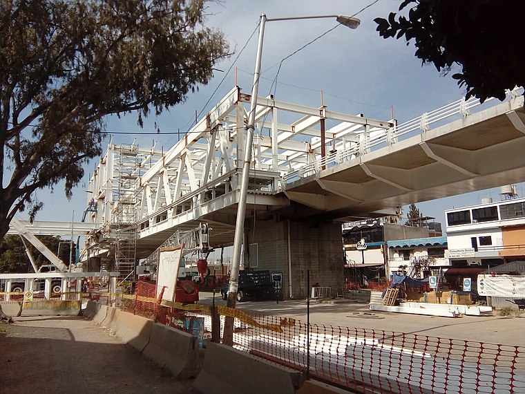
Photo: Carmanpaco, CC BY-SA 4.0.
The CUCEI railway station is part of the Sistema de Tren Eléctrico Urbano in the Mexican state of Jalisco. The station gets its name from the University Center of Exact Sciences and Engineering, next to the university complex of the University of Guadalajara… CUCEI metro station is situated 1¼ km west of Carlos Fuero - Aldama.
Carlos Fuero - Aldama
- Type: Bus stop
- Category: transportation
- Location: Guadalajara, Jalisco, Pacific Coast, Mexico, North America
- View on OpenStreetMap
Latitude
20.66224° or 20° 39′ 44″ northLongitude
-103.31316° or 103° 18′ 47″ westOperator
SITEURNetwork
Mi MacroOpen location code
75GRMM6P+VPOpenStreetMap ID
node 9859398749OpenStreetMap feature
highway=bus_stopOpenStreetMap feature
public_transport=platform
This page is based on OpenStreetMap, Wikidata, and Wikimedia Commons.
We’d love your help improving our open data sources. Thank you for contributing.
Satellite Map
Discover Carlos Fuero - Aldama from above in high-definition satellite imagery.
Notable Places Nearby
Highlights include Parroquia el Señor de la Misericordia and La Iglesia de Jesucristo de los Santos de los Últimos Días.
Nearby Places
Explore places such as FARMACIAS SALUDABLES and Federico Froebel.
Jalisco: Must-Visit Destinations
Delve into Puerto Vallarta, Tequila, Tepatitlan, and Lagos de Moreno.
Curious Bus Stops to Discover
Uncover intriguing bus stops from every corner of the globe.
About Mapcarta. Data © OpenStreetMap contributors and available under the Open Database License". Text is available under the CC BY-SA 4.0 license, except for photos, directions, and the map. Photo: Wikimedia, CC0.