Louis C. Clark Sanctuary Trailhead
Louis C. Clark Sanctuary Trailhead is in Oyster Bay, Nassau County, New York. Louis C. Clark Sanctuary Trailhead is situated nearby to the police station Old Brookville Police Department, as well as near the town hall Old Brookville Village Hall.| Tap on a place to explore it |
Places of Interest Nearby
Highlights include Louis C. Clark Sanctuary and Greenvale station.
Louis C. Clark Sanctuary
Nature reserve
The Louis C. Clark Sanctuary is located on Valentine's Road in Old Brookville in Nassau County, New York on Long Island. The eight-acre sanctuary was once a part of Valentine Farm.
Greenvale station
Railway station

Photo: Adam Moss, CC BY-SA 2.0.
Greenvale is a station on the Long Island Rail Road's Oyster Bay Branch. The station is located off Helen Street, between Glen Cove Avenue and Glen Cove Road in the Incorporated Village of Roslyn Harbor, in Nassau County, New York, United States. Greenvale station is situated 3,500 feet southwest of Louis C. Clark Sanctuary Trailhead.
DuPont-Guest Estate
Heritage site

Photo: Muncharelli, CC BY-SA 3.0.
The DuPont-Guest Estate, now known as the NYIT de Seversky Mansion, is a historic estate located at Brookville in Nassau County, New York. Since 1972, it has been part of the Old Westbury campus of the New York Institute of Technology. DuPont-Guest Estate is situated 4,200 feet south of Louis C. Clark Sanctuary Trailhead.
Places in the Area
Nearby places include Greenvale and Old Brookville.
Greenvale
Village
 Greenvale is a hamlet and census-designated place in the towns of North Hempstead and Oyster Bay in Nassau County, on the North Shore of Long Island, in New York, United States.
Old Brookville
Village

Photo: AITFFan1, CC BY-SA 4.0.
Old Brookville is a village located within the Town of Oyster Bay in Nassau County, on the North Shore of Long Island, in New York, United States. The village population was 2,020 at the time of the 2020 census.
Glen Head
Village
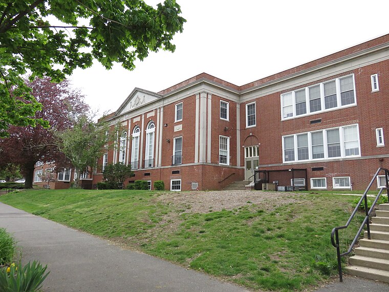
Photo: Antony-22, CC BY-SA 4.0.
Glen Head is a hamlet and census-designated place located within the Town of Oyster Bay in Nassau County, on the North Shore of Long Island, in New York, United States.
Louis C. Clark Sanctuary Trailhead
- Type: Sign
- Categories: information and tourism
- Location: Oyster Bay, Nassau County, New York, Mid-Atlantic, United States, North America
- View on OpenStreetMap
Latitude
40.82132° or 40° 49′ 17″ northLongitude
-73.61665° or 73° 37′ westOpen location code
87G8R9CM+G8OpenStreetMap ID
node 9883617301OpenStreetMap feature
tourism=information
This page is based on OpenStreetMap, Wikidata, and Wikimedia Commons.
We’d love your help improving our open data sources. Thank you for contributing.
Satellite Map
Discover Louis C. Clark Sanctuary Trailhead from above in high-definition satellite imagery.
Notable Places Nearby
Highlights include Old Brookville Police Department and Old Brookville Village Hall.
Nearby Places
Explore places such as Valentine’s Farm at Old Brookville and Silas Reed Anthony.
Nassau County: Must-Visit Destinations
Delve into Long Beach, Glen Cove, Mineola, and Garden City.
Curious Places to Discover
Uncover intriguing places from every corner of the globe.
About Mapcarta. Data © OpenStreetMap contributors and available under the Open Database License". Text is available under the CC BY-SA 4.0 license, except for photos, directions, and the map. Photo: Antony-22, CC BY-SA 4.0.