Dorfplatz Charlottendorf Ost
Dorfplatz Charlottendorf Ost is a picnic site in Wardenburg, Oldenburg, Lower Saxony. Dorfplatz Charlottendorf Ost is situated nearby to the historic site 5,0, as well as near the village Astrup.| Tap on a place to explore it |
Places in the Area
Nearby places include Astrup and Wardenburg.
Astrup
Village
 Astrup is a village, which is situated 5 km northeast of Dorfplatz Charlottendorf Ost.
Wardenburg
Town

Photo: Wikimedia, CC BY-SA 2.5.
Wardenburg is a municipality in the district of Oldenburg, in Lower Saxony, Germany. It is situated on the river Hunte, approx. 8 km south of Oldenburg. Wardenburg is situated 6 km north of Dorfplatz Charlottendorf Ost.
Sandkrug
Town
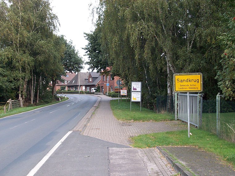
Photo: jul8234, CC BY-SA 3.0.
Sandkrug is a town, which is situated 7 km northeast of Dorfplatz Charlottendorf Ost.
Dorfplatz Charlottendorf Ost
- Type: Picnic site
- Category: tourism
- Location: Wardenburg, Oldenburg, Lower Saxony, Germany, Central Europe, Europe
- View on OpenStreetMap
Latitude
53.0071° or 53° 0′ 26″ northLongitude
8.18967° or 8° 11′ 23″ eastOpen location code
9F5C254Q+RVOpenStreetMap ID
node 988975034OpenStreetMap feature
tourism=picnic_site
This page is based on OpenStreetMap, Wikidata, and Wikimedia Commons.
We’d love your help improving our open data sources. Thank you for contributing.
Satellite Map
Discover Dorfplatz Charlottendorf Ost from above in high-definition satellite imagery.
Notable Places Nearby
Highlights include 5,0 and Flugplatz MFG Wardenburg e.V..
Nearby Places
Explore places such as Denkmal and Erdgasförderung Hengstlage Nord.
Lower Saxony: Must-Visit Destinations
Delve into Hanover, Göttingen, Brunswick, and Wolfsburg.
Curious Picnic Sites to Discover
Uncover intriguing picnic sites from every corner of the globe.
About Mapcarta. Data © OpenStreetMap contributors and available under the Open Database License". Text is available under the CC BY-SA 4.0 license, except for photos, directions, and the map. Photo: Danapit, CC BY-SA 3.0.