St. Mary Help of Christians Church
St. Mary Help of Christians Church is a Catholic parish of the Roman Catholic Diocese of Charleston. The main parish church is at 138 Fairfield St. SE in Aiken, South Carolina.| Tap on a place to explore it |
Photo: Bigskybill, CC BY-SA 3.0.
- Type: Church
- Description: catholic church building in Aiken, United States of America
- Also known as: “Old ‘St. Mary’s’” and “Saint Mary’s Church”
- Address: 138 Fairfield Street SE, Aiken, SC 29801
Places of Interest Nearby
Highlights include Aiken Tennis Club and Immanuel School.
Aiken Tennis Club
Sports venue

Photo: Eoghanacht, Public domain.
The Aiken Tennis Club is a private court tennis club located at 146 Newberry Street, SW in Aiken, South Carolina. It includes the Court Tennis Building. Aiken Tennis Club is situated 1,400 feet west of St. Mary Help of Christians Church.
Immanuel School
School building

Photo: Bigskybill, CC BY-SA 3.0.
Immanuel School is significant for its association with the area's parochial education of African-American children in the Aiken, South Carolina, area from 1890 to 1932. It was listed on the National Register of Historic Places in 2009. Immanuel School is situated 860 feet north of St. Mary Help of Christians Church.
Legare-Morgan House
Historic house
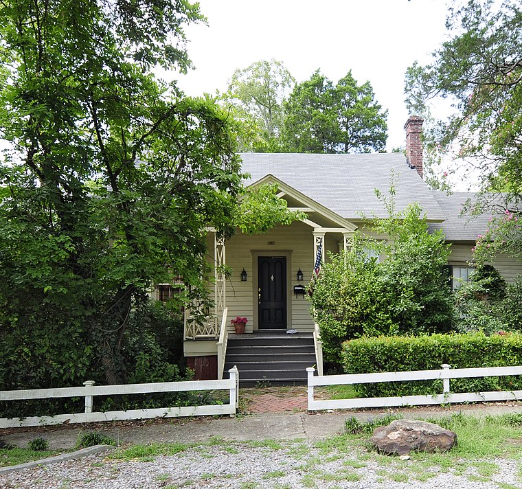
Photo: Bigskybill, CC BY-SA 3.0.
The Legare-Morgan House is a one-story clapboard structure built in Aiken, South Carolina around 1835. From 1850 to 1859 it was the home of the artist, poet and inventor, James Mathews Legare. Legare-Morgan House is situated 2,400 feet west of St. Mary Help of Christians Church.
Places in the Area
Nearby places include Aiken and Warrenville.
Aiken

Photo: Savannah River Site, Public domain.
Aiken is the most populous city in, and the county seat of, Aiken County, South Carolina, United States. According to 2020 census, the population was 32,025, making it the 15th-most populous city in South Carolina, and one of the two largest cities of the Central Savannah River Area.
Warrenville
Village
Warrenville is a census-designated place in Aiken County, South Carolina, United States. The population was 1,233 at the 2010 census. It is located just south of Graniteville and is part of the Augusta, Georgia metropolitan area. Warrenville is situated 5 miles west of St. Mary Help of Christians Church.
Montmorenci
Hamlet
Montmorenci is an unincorporated community in Aiken County, South Carolina, United States. The community is located along U.S. Route 78, 5.3 miles east-southeast of Aiken. Montmorenci has a post office with ZIP code 29839. Montmorenci is situated 5 miles southeast of St. Mary Help of Christians Church.
St. Mary Help of Christians Church
- Categories: place of worship and religion
- Location: Aiken, South Carolina, South, United States, North America
- View on OpenStreetMap
Latitude
33.55838° or 33° 33′ 30″ northLongitude
-81.71659° or 81° 42′ 60″ westOpen location code
865WH75M+99OpenStreetMap ID
node 9894211208OpenStreetMap feature
amenity=place_of_worshipWikidata ID
Q7590484
This page is based on OpenStreetMap, Wikidata, Wikimedia Commons, and Wikipedia.
We’d love your help improving our open data sources. Thank you for contributing.
Satellite Map
Discover St. Mary Help of Christians Church from above in high-definition satellite imagery.
In Other Languages
“St. Mary Help of Christians Church” goes by many names.
- Egyptian Arabic: “كنيسه القديسه مريم مساعده المسيحيين”
Places with the Same Name
Discover other places named “St. Mary Help of Christians Church”.
Notable Places Nearby
Highlights include Aiken Train Depot Museum and Gyles Park.
Nearby Places
Explore places such as City Barber Shop and Big House Outpost.
South Carolina: Must-Visit Destinations
Delve into Columbia, Charleston, Greenville, and Myrtle Beach.
Curious Churches to Discover
Uncover intriguing churches from every corner of the globe.
About Mapcarta. Data © OpenStreetMap contributors and available under the Open Database License". Text is available under the CC BY-SA 4.0 license, except for photos, directions, and the map. Description text is based on the Wikipedia page “St. Mary Help of Christians Church”. Photo: Bigskybill, CC BY-SA 3.0.