Le faon et l’enfant
Le faon et l’enfant is a work of art in Decazeville, Arrondissement of Villefranche-de-Rouergue, Occitanie. Le faon et l’enfant is situated nearby to the basin Bassin de la Découverte, as well as near the church Église Saint-Antoine de Fontvergnes.| Tap on a place to explore it |
Places of Interest Nearby
Highlights include Église Notre-Dame de Decazeville and Église Notre-Dame-des-Mines.
Église Notre-Dame de Decazeville
Church
 Église Notre-Dame de Decazeville is a church, which is situated 1¼ km northwest of Le faon et l’enfant.
Église Notre-Dame-des-Mines
Church

Photo: WCOMFR, CC BY-SA 4.0.
Église Notre-Dame-des-Mines is a church, which is situated 1½ km south of Le faon et l’enfant.
Église Saint-Michel de Decazeville
Church

Photo: Tournasol7, CC BY-SA 4.0.
Église Saint-Michel de Decazeville is a church, which is situated 1½ km northeast of Le faon et l’enfant.
Places in the Area
Nearby places include Decazeville and Boisse-Penchot.
Decazeville
Town

Photo: Fraxinus, CC BY-SA 3.0.
Decazeville is a commune in the Aveyron department in the Occitanie region in southern France. The commune was created in the 19th century because of the Industrial Revolution and was named after the Duke of Decazes, the founder of the factory that created the town.
Boisse-Penchot
Village

Photo: Bibliothèque de Toulouse, No restrictions.
Boisse-Penchot is a commune in the Aveyron department in southern France. Boisse-Penchot is situated 6 km northwest of Le faon et l’enfant.
Valzergues
Village
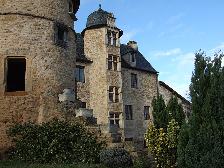
Photo: Wikimedia, CC BY-SA 3.0.
Valzergues is a commune in the Aveyron department in southern France. Valzergues is situated 7 km southwest of Le faon et l’enfant.
Le faon et l’enfant
- Type: Work of art
- Artwork type: mural
- Category: tourism
- Location: Decazeville, Arrondissement of Villefranche-de-Rouergue, Aveyron, Occitanie, France, Europe
- View on OpenStreetMap
Latitude
44.55251° or 44° 33′ 9″ northLongitude
2.26236° or 2° 15′ 45″ eastInception
2021Open location code
8FP4H736+2WOpenStreetMap ID
node 9905803958OpenStreetMap feature
tourism=artworkOpenStreetMap attribute
artwork_type=mural
This page is based on OpenStreetMap, Wikidata, and Wikimedia Commons.
We’d love your help improving our open data sources. Thank you for contributing.
Satellite Map
Discover Le faon et l’enfant from above in high-definition satellite imagery.
Notable Places Nearby
Highlights include Bassin de la Découverte and Église Saint-Antoine de Fontvergnes.
Nearby Places
Explore places such as Chevalement de mine and La Découverte.
Curious Work Of Arts to Discover
Uncover intriguing work of arts from every corner of the globe.
About Mapcarta. Data © OpenStreetMap contributors and available under the Open Database License". Text is available under the CC BY-SA 4.0 license, except for photos, directions, and the map. Photo: Inkey, Public domain.