Buvette camping Robinson
Buvette camping Robinson is a food court in Sierre, Valais. Buvette camping Robinson is situated nearby to the prison Etablissement pénitentiaire de Crêtelongue, as well as near Medieval Castle Hill.| Tap on a place to explore it |
Places of Interest Nearby
Highlights include Medieval Castle Hill and Painted House (former Inn).
Medieval Castle Hill
Castle

Photo: Vaquins, CC BY-SA 3.0.
Medieval Castle Hill is situated 1 km southwest of Buvette camping Robinson.
Painted House (former Inn)
Castle

Photo: Chelin, CC BY-SA 3.0.
Painted House (former Inn) is a castle, which is situated 1½ km west of Buvette camping Robinson.
Underground lake
Cave

Photo: Borsic, CC BY-SA 3.0.
Saint-Léonard underground lake is located at Saint Léonard in the canton of Valais, Switzerland. Underground lake is situated 3½ km west of Buvette camping Robinson.
Places in the Area
Nearby places include Flanthey and Réchy.
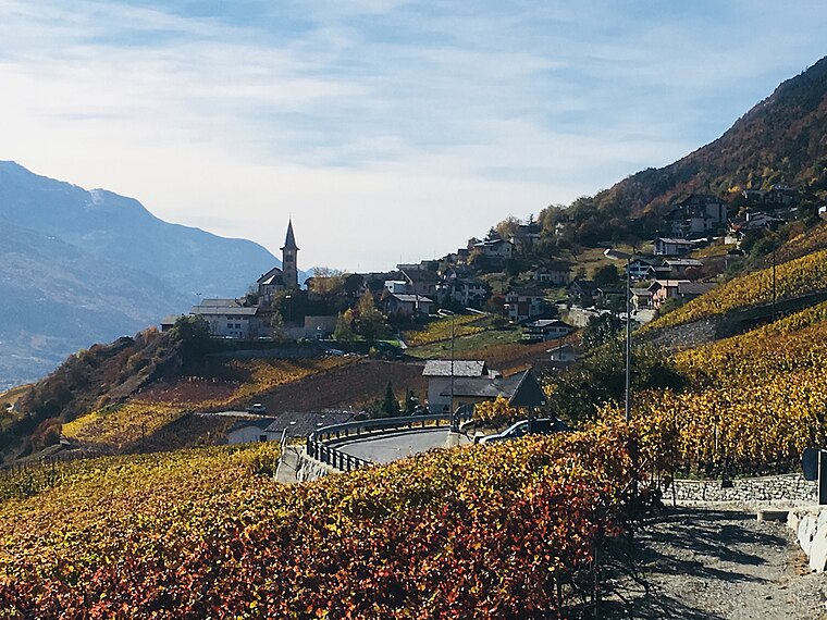

Grône
Village

Photo: Espandero, CC BY-SA 4.0.
Grône is a municipality in the district of Sierre in the canton of Valais in Switzerland.
Buvette camping Robinson
- Type: Food court
- Category: food
- Location: Sierre, Sierre District, Valais, Switzerland, Central Europe, Europe
- View on OpenStreetMap
Latitude
46.26566° or 46° 15′ 56″ northLongitude
7.47221° or 7° 28′ 20″ eastOpen location code
8FR97F8C+7VOpenStreetMap ID
node 9905851947OpenStreetMap feature
amenity=food_court
This page is based on OpenStreetMap, Wikidata, and Wikimedia Commons.
We’d love your help improving our open data sources. Thank you for contributing.
Satellite Map
Discover Buvette camping Robinson from above in high-definition satellite imagery.
Notable Places Nearby
Highlights include Etablissement pénitentiaire de Crêtelongue and Centre éducatif fermé de Pramont.
Nearby Places
Explore places such as Camping Robinson and Bistro manege.
Valais: Must-Visit Destinations
Delve into Sion, Zermatt, Martigny, and Brig.
Curious Food Courts to Discover
Uncover intriguing food courts from every corner of the globe.
About Mapcarta. Data © OpenStreetMap contributors and available under the Open Database License". Text is available under the CC BY-SA 4.0 license, except for photos, directions, and the map. Photo: Famberhorst, CC BY-SA 4.0.