Was ist was im Weltall?
Was ist was im Weltall? is in Tautenburg, Saale-Holzland-Kreis, Thuringia. Was ist was im Weltall? is situated nearby to the stone Knöchels Kreuz, as well as near Schutzhütte ‘Vogelgrund’.| Tap on a place to explore it |
Places of Interest Nearby
Highlights include Karl Schwarzschild Observatory and Burg Tautenburg.
Karl Schwarzschild Observatory
Observatory

Photo: ArtMechanic, CC BY-SA 3.0.
The Karl Schwarzschild Observatory is a German astronomical observatory in Tautenburg near Jena, Thuringia. It is owned and operated as under public law by the State of Thuringia. Karl Schwarzschild Observatory is situated 1 km west of Was ist was im Weltall?.
Burg Tautenburg
Castle

Photo: Mewes, Public domain.
Burg Tautenburg is a castle, which is situated 1 km northwest of Was ist was im Weltall?.
Petrus-Johannes-Kirche (Tautenburg)
Church
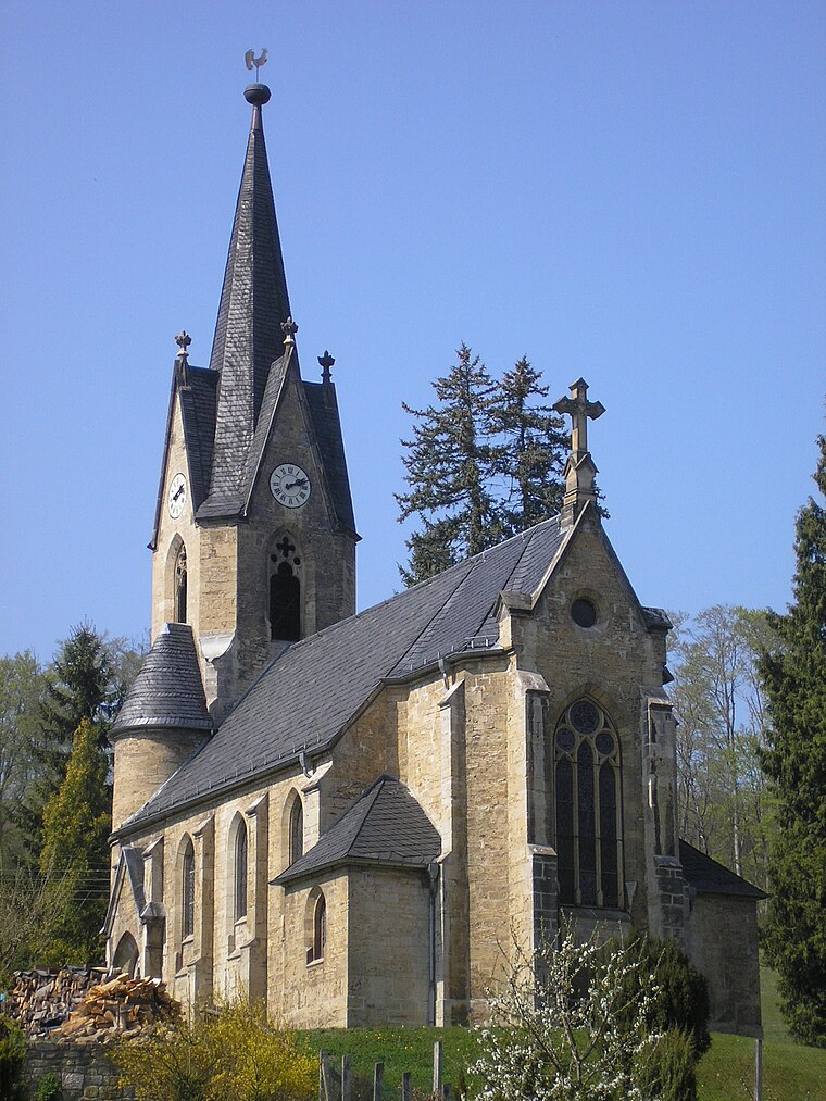
Photo: Michael Sander, CC BY-SA 3.0.
Petrus-Johannes-Kirche (Tautenburg) is a church, which is situated 1¼ km northwest of Was ist was im Weltall?.
Places in the Area
Nearby places include Tautenburg and Löberschütz.
Tautenburg
Village
Photo: Mewes, Public domain.
Tautenburg is a municipality in the district Saale-Holzland, in Thuringia, Germany. It is home to the Karl Schwarzschild Observatory.
Löberschütz
Village

Photo: Ixitixel, CC BY-SA 2.5.
Löberschütz is a municipality in the district Saale-Holzland, in Thuringia, Germany.
Graitschen bei Bürgel
Village

Photo: Xerini, CC BY-SA 3.0.
Graitschen bei Bürgel is a municipality in the district Saale-Holzland, in Thuringia, Germany. Graitschen bei Bürgel is situated 2½ km south of Was ist was im Weltall?.
Was ist was im Weltall?
- Type: Sign
- Categories: information and tourism
- Location: Tautenburg, Saale-Holzland-Kreis, Thuringia, Germany, Central Europe, Europe
- View on OpenStreetMap
Latitude
50.98152° or 50° 58′ 54″ northLongitude
11.72276° or 11° 43′ 22″ eastOpen location code
9F2HXPJF+J4OpenStreetMap ID
node 9907226126OpenStreetMap feature
tourism=information
This page is based on OpenStreetMap, Wikidata, and Wikimedia Commons.
We’d love your help improving our open data sources. Thank you for contributing.
Satellite Map
Discover Was ist was im Weltall? from above in high-definition satellite imagery.
Notable Places Nearby
Highlights include Knöchels Kreuz and Schutzhütte ‘Vogelgrund’.
Nearby Places
Explore places such as An der ehemaligen Köhlerei and Was ist was im Weltall.
Curious Places to Discover
Uncover intriguing places from every corner of the globe.
About Mapcarta. Data © OpenStreetMap contributors and available under the Open Database License". Text is available under the CC BY-SA 4.0 license, except for photos, directions, and the map. Photo: Taxiarchos228, FAL.