Malibu Park Airfield
Malibu Park Airfield is an aerodrome in Nelson, Nelson Bays. Malibu Park Airfield is situated nearby to the town Brightwater, as well as near the hamlet Spring Grove.| Tap on a place to explore it |
Places of Interest
Highlights include Ernest Rutherford memorial and St Paul’s Church.
Ernest Rutherford memorial

Photo: Alan Liefting, Public domain.
The Ernest Rutherford memorial includes a statue of the New Zealand scientist Ernest Rutherford, who won the Nobel Prize in Chemistry in 1908. It depicts Rutherford as a child, and is located near his birthplace in Brightwater, New Zealand.

Places in the Area
Nearby places include Wakefield and Brightwater.
Wakefield
 Wakefield is a small town in the Nelson Bays region of New Zealand's South Island, 25 km south-west of Nelson. This travel guide also cover the town of Brightwater, 4 km east of Wakefield.
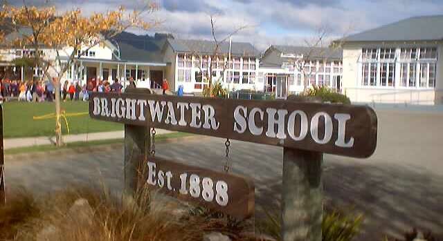
Brightwater
Town
Brightwater is a town 20 kilometres southwest of Nelson in Tasman district in the South Island of New Zealand. It stands on the banks of the Wairoa River.
Hope
Town
Hope, previously known as Ranzau, is a small settlement in the Tasman District of New Zealand. It lies south of Nelson city, between Richmond and Wakefield.
Malibu Park Airfield
- Type: Aerodrome
- Category: transportation
- Location: Nelson, Nelson Bays, South Island, New Zealand, Oceania
- View on OpenStreetMap
Latitude
-41.3777° or 41° 22′ 40″ southLongitude
173.0847° or 173° 5′ 5″ eastOpen location code
4VCMJ3CM+WVOpenStreetMap ID
node 9919243313OpenStreetMap feature
aeroway=aerodrome
This page is based on OpenStreetMap, Wikidata, and Wikimedia Commons.
We’d love your help improving our open data sources. Thank you for contributing.
Satellite Map
Discover Malibu Park Airfield from above in high-definition satellite imagery.
Localities in the Area
Explore places such as Spring Grove and Appleby.
Notable Places Nearby
Highlights include Lord Rutherford Memorial and Lord Rutherford Park.
Nelson Bays: Must-Visit Destinations
Delve into Abel Tasman National Park, Nelson Lakes National Park, Kahurangi National Park, and Motueka.
Curious Aerodromes to Discover
Uncover intriguing aerodromes from every corner of the globe.
About Mapcarta. Data © OpenStreetMap contributors and available under the Open Database License". Text is available under the CC BY-SA 4.0 license, except for photos, directions, and the map. Photo: AlasdairW, CC BY-SA 3.0.