Estrada Nacional 11 9
Estrada Nacional 11 9 is a bus stop in Sarilhos Grandes, Montijo, Setúbal District. Estrada Nacional 11 9 is situated nearby to the church Ermida de Nossa Senhora da Piedade, as well as near Igreja de São Jorge.| Tap on a place to explore it |
Places of Interest Nearby
Highlights include Moinho do Esteval and Moinho de Maré da Lançada.
Moinho do Esteval
Museum

Photo: Pedro S Bello, CC BY-SA 4.0.
Moinho do Esteval is a museum, which is situated 4 km north of Estrada Nacional 11 9.
Moinho de Maré da Lançada
Building

Photo: AGoulart, CC BY-SA 4.0.
Moinho de Maré da Lançada is a building, which is situated 1½ km northeast of Estrada Nacional 11 9.
Biblioteca Municipal Manuel Giraldes da Silva
Library

Photo: GualdimG, CC BY-SA 4.0.
Biblioteca Municipal Manuel Giraldes da Silva is a library, which is situated 3 km north of Estrada Nacional 11 9.
Places in the Area
Nearby places include Gaio-Rosário and Moita Municipality.
Gaio-Rosário
Village

Photo: Link88, Public domain.
Gaio-Rosário is a village, which is situated 3½ km west of Estrada Nacional 11 9.
Moita Municipality
Town
Photo: Link88, Public domain.
Moita is a municipality in the district of Setúbal in Portugal. The population in 2011 was 66,029, in an area of 55.26 km2. The municipality is part of the Greater Lisbon Area, with a demographic rate of 1.194,9/km2 in 2011, growing from 533,2/km2 in 1960. Moita Municipality is situated 4 km southwest of Estrada Nacional 11 9.
Samouco
Town
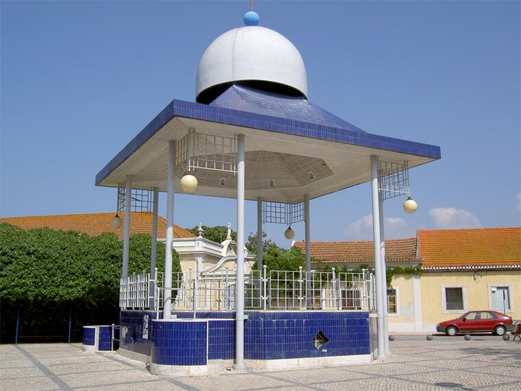
Photo: Dougal2010, CC BY-SA 3.0.
Samouco is a town, which is situated 5 km northwest of Estrada Nacional 11 9.
Estrada Nacional 11 9
- Type: Bus stop
- Also known as: “EN11 9”
- Category: transportation
- Location: Sarilhos Grandes, Montijo, Setúbal District, Portugal, Iberia, Europe
- View on OpenStreetMap
Latitude
38.68026° or 38° 40′ 49″ northLongitude
-8.96654° or 8° 57′ 60″ westOperator
Alsa TodiNetwork
Carris MetropolitanaOpen location code
8CCHM2JM+49OpenStreetMap ID
node 9921856369OpenStreetMap feature
highway=bus_stopOpenStreetMap feature
public_transport=platform
This page is based on OpenStreetMap, Wikidata, and Wikimedia Commons.
We’d love your help improving our open data sources. Thank you for contributing.
Satellite Map
Discover Estrada Nacional 11 9 from above in high-definition satellite imagery.
Notable Places Nearby
Highlights include Ermida de Nossa Senhora da Piedade and Igreja de São Jorge.
Nearby Places
Explore places such as Estrada Nacional 11 9 and Avenida da República 2.
Portugal: Must-Visit Destinations
Delve into Lisbon, Caldas da Rainha, Porto, and Coimbra.
Curious Bus Stops to Discover
Uncover intriguing bus stops from every corner of the globe.
About Mapcarta. Data © OpenStreetMap contributors and available under the Open Database License". Text is available under the CC BY-SA 4.0 license, except for photos, directions, and the map. Photo: Vitor Oliveira, CC BY-SA 2.0.