La Belle Aude
La Belle Aude is an ice cream parlor in Carcassonne, Aude, Occitanie which is located on Rue Cros Mayrevieille. La Belle Aude is situated nearby to the post office Relais La Poste, as well as near the tourism office Office du tourisme de la Cité.| Tap on a place to explore it |
Places of Interest Nearby
Highlights include The Grand Well and Château Comtal.

Château Comtal
Castle

Photo: Inferno986return, CC BY-SA 4.0.
Château Comtal is a castle, which is situated 160 metres west of La Belle Aude.
Basilica of Saints Nazarius and Celsus
Church

Photo: Wikimedia, CC BY-SA 4.0.
The Basilica of Saints Nazarius and Celsus is a Roman Catholic minor basilica located in the citadel of Carcassonne, France. It is a national monument, and is in the Gothic-Romanesque architectural tradition. Basilica of Saints Nazarius and Celsus is situated 260 metres southwest of La Belle Aude.
Places in the Area
Nearby places include Cité de Carcassonne and Berriac.
Cité de Carcassonne
Neighborhood

Photo: Jondu11, CC BY-SA 4.0.
The Cité de Carcassonne is a medieval citadel located in the French city of Carcassonne, in the Aude department, Occitania region. It is situated on a hill on the right bank of the river Aude, in the south-eastern part of the city proper.
Berriac
Village
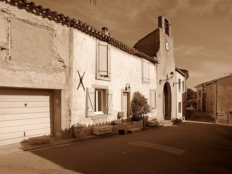
Photo: Olybrius, CC BY-SA 4.0.
Berriac is a commune in the Aude department in southern France. Berriac is situated 4 km east of La Belle Aude.
Conques-sur-Orbiel
Village

Photo: Meria z Geoian, CC BY-SA 3.0.
Conques-sur-Orbiel is a commune in the Aude department in southern France. Conques-sur-Orbiel is situated 8 km northeast of La Belle Aude.
La Belle Aude
- Type: Ice cream parlor
- Address: Rue Cros Mayrevieille, Carcassonne, 11000
- Category: food
- Location: Carcassonne, Arrondissement of Carcassonne, Aude, Occitanie, France, Europe
- View on OpenStreetMap
Latitude
43.20689° or 43° 12′ 25″ northLongitude
2.36509° or 2° 21′ 54″ eastOpen location code
8FM46948+Q2OpenStreetMap ID
node 9926968929OpenStreetMap feature
amenity=ice_cream
This page is based on OpenStreetMap, Wikidata, and Wikimedia Commons.
We’d love your help improving our open data sources. Thank you for contributing.
Satellite Map
Discover La Belle Aude from above in high-definition satellite imagery.
Places with the Same Name
Discover other places named “La Belle Aude”.
Notable Places Nearby
Highlights include Office du tourisme de la Cité and Relais La Poste.
Nearby Places
Explore places such as Touk Touk and À Saint-Louis.
Aude: Must-Visit Destinations
Delve into Narbonne, Limoux, Leucate, and Rennes-le-Château.
Curious Ice Cream Parlors to Discover
Uncover intriguing ice cream parlors from every corner of the globe.
About Mapcarta. Data © OpenStreetMap contributors and available under the Open Database License". Text is available under the CC BY-SA 4.0 license, except for photos, directions, and the map. Photo: Danapit, CC BY-SA 3.0.