Port Henderson Primary School
Port Henderson Primary School is a school in Braeton, Saint Catherine Parish. Port Henderson Primary School is situated nearby to the church Portmore SDA, as well as near the amusement arcade Buzzers.| Tap on a place to explore it |
Places of Interest Nearby
Highlights include Ferdi Neita Sports Complex and Lazaretto Cairn Lighthouse.
Ferdi Neita Sports Complex
Pitch
Ferdi Neita Sports Complex is a multi-use stadium in Portmore, Jamaica. It is currently used mostly for football matches and as a practising ground. It serves as a home ground of Portmore United F.C. The stadium holds 3,000 people. Ferdi Neita Sports Complex is situated 2 km west of Port Henderson Primary School.
Lazaretto Cairn Lighthouse
Lighthouse
Lazaretto Cairn Lighthouse guides vessels westward on their approach to Kingston Harbour. It appears to be a historic daybeacon converted to a lighted aid. Lazaretto Cairn Lighthouse is situated 2½ km southeast of Port Henderson Primary School.
Caymanas Park
Caymanas Park is Jamaica's only race track. It was historically a sugarcane estate in the Colony of Jamaica. It was originally owned by the Ellis family, including George Ellis and Charles Ellis, 1st Baron Seaford, who made substantial profits from sugar and slavery. Caymanas Park is situated 4 km north of Port Henderson Primary School.Places in the Area
Nearby places include Portmore and Port Royal.
Portmore
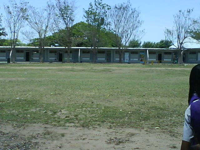
Photo: Raw9345, Public domain.
Portmore is a large coastal town in southern Jamaica in Saint Catherine, and a place of residence for people working in the neighbouring cities of Kingston and Spanish Town.
Port Royal
Village
Port Royal was a town located at the end of the Palisadoes, at the mouth of Kingston Harbour, in southeastern Jamaica. Founded in 1494 by the Spanish, it was once the largest and most prosperous city in the Caribbean, functioning as the centre of shipping and commerce in the Caribbean Sea by the latter half of the 17th century. Port Royal is situated 5 km southeast of Port Henderson Primary School.
Tivoli Gardens
Neighborhood
Tivoli Gardens is a neighbourhood in Kingston, Jamaica. Developed as a renewal project between 1963 and 1965, the neighbourhood continued to suffer from poverty. Tivoli Gardens is situated 9 km east of Port Henderson Primary School.
Port Henderson Primary School
- Type: School
- Category: education
- Location: Braeton, Saint Catherine Parish, Jamaica, Caribbean, North America
- View on OpenStreetMap
Latitude
17.95761° or 17° 57′ 27″ northLongitude
-76.88614° or 76° 53′ 10″ westOpen location code
7795X457+2GOpenStreetMap ID
node 9938204817OpenStreetMap feature
amenity=school
This page is based on OpenStreetMap, Wikidata, and Wikimedia Commons.
We’d love your help improving our open data sources. Thank you for contributing.
Satellite Map
Discover Port Henderson Primary School from above in high-definition satellite imagery.
Notable Places Nearby
Highlights include Portmore SDA and Buzzers.
Nearby Places
Explore places such as Jamaica Plumbing Supplies and Jamaica Plumbing.
Jamaica: Must-Visit Destinations
Delve into Kingston, Montego Bay, Portmore, and Blue Mountains.
Curious Places to Discover
Uncover intriguing places from every corner of the globe.
About Mapcarta. Data © OpenStreetMap contributors and available under the Open Database License". Text is available under the CC BY-SA 4.0 license, except for photos, directions, and the map. Photo: papushin, CC BY-SA 2.0.