Wolkenberg 1503-1991
Wolkenberg 1503-1991 is a stone in Spremberg, Spree-Neiße, Brandenburg. Wolkenberg 1503-1991 is situated nearby to the stone Um 1503 Kirche, as well as near Vorwerk Gribona.| Tap on a place to explore it |
Places of Interest Nearby
Highlights include Steinitzer Treppe.
Steinitzer Treppe
Scenic viewpoint

Photo: SPBer, CC BY-SA 3.0.
Steinitzer Treppe is a scenic viewpoint, which is situated 3 km northwest of Wolkenberg 1503-1991.
Places in the Area
Nearby places include Domsdorf/Domašojce and Kausche.
Domsdorf/Domašojce
Village
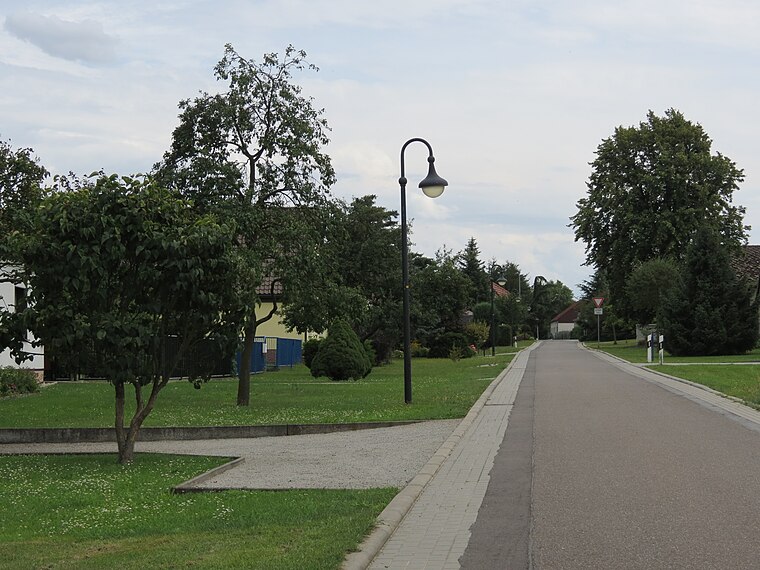
Photo: Engeser, CC BY-SA 4.0.
Domsdorf/Domašojce is a village, which is situated 5 km northwest of Wolkenberg 1503-1991.
Kausche
Village

Photo: SPBer, CC BY-SA 4.0.
Kausche is a village, which is situated 5 km north of Wolkenberg 1503-1991.
Drebkau
Town

Photo: Clemensfranz, CC BY-SA 3.0.
Drebkau is a town in the district of Spree-Neiße, in Lower Lusatia, in Brandenburg, in eastern Germany. It is situated 14 km southwest of Cottbus. Drebkau is situated 6 km northwest of Wolkenberg 1503-1991.
Wolkenberg 1503-1991
- Type: Stone
- Category: landform
- Location: Spremberg, Spree-Neiße, Brandenburg, Germany, Central Europe, Europe
- View on OpenStreetMap
Latitude
51.61029° or 51° 36′ 37″ northLongitude
14.25888° or 14° 15′ 32″ eastOpen location code
9F3PJ765+4HOpenStreetMap ID
node 9985494628OpenStreetMap feature
natural=stone
This page is based on OpenStreetMap, Wikidata, and Wikimedia Commons.
We’d love your help improving our open data sources. Thank you for contributing.
Satellite Map
Discover Wolkenberg 1503-1991 from above in high-definition satellite imagery.
Notable Places Nearby
Highlights include Um 1503 Kirche and Vorwerk Gribona.
Nearby Places
Explore places such as Ortskern Wolkenberg and Bergbaugeschichte.
Brandenburg: Must-Visit Destinations
Delve into Potsdam, Cottbus, Frankfurt an der Oder, and Brandenburg an der Havel.
Curious Stones to Discover
Uncover intriguing stones from every corner of the globe.
About Mapcarta. Data © OpenStreetMap contributors and available under the Open Database License". Text is available under the CC BY-SA 4.0 license, except for photos, directions, and the map. Photo: Leviathan1983, CC BY-SA 3.0.