Wittmantag
Wittmantag is a farm in Győr-Moson-Sopron County, Western Transdanubia. Wittmantag is situated nearby to the lake Bányató, as well as near the aerodrome Bőny.| Tap on a place to explore it |
Places of Interest Nearby
Highlights include Győrszentiván railway station.
Győrszentiván railway station
Railway station
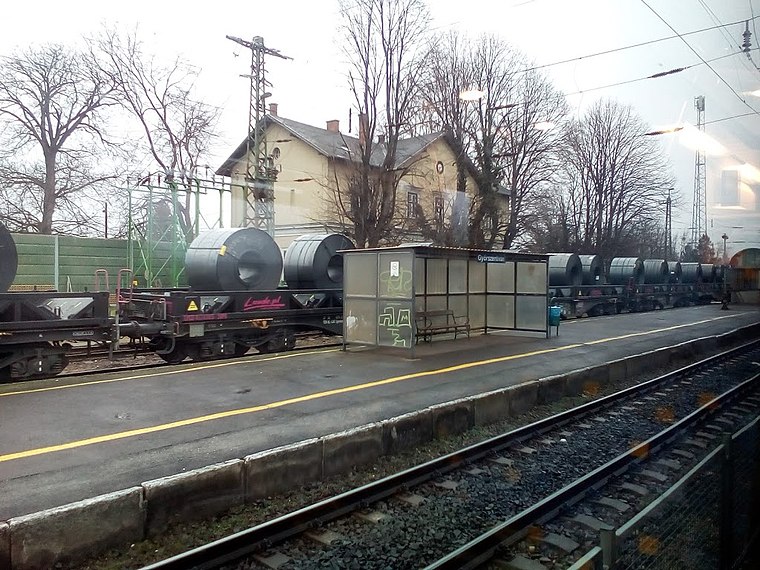
Photo: Rakás, CC BY-SA 4.0.
Győrszentiván railway station is situated 3 km west of Wittmantag.
Places in the Area
Nearby places include Gönyű and Klížska Nemá.
Gönyű
Village

Photo: Negella, CC BY-SA 3.0.
Gönyű is a village in Győr-Moson-Sopron county, Hungary. The village is known for its bizarre soccer field. Gönyű is situated 6 km northeast of Wittmantag.
Klížska Nemá
Village

Photo: Wikimedia, CC BY-SA 3.0.
Klížska Nemá is a village and municipality in the Komárno District in the Nitra Region of south-west Slovakia. Klížska Nemá is situated 7 km north of Wittmantag.
Číčov
Village

Photo: Pasztilla, CC BY-SA 4.0.
Číčov is a village and municipality in the Komárno District in the Nitra Region of south-west Slovakia. Číčov is situated 9 km north of Wittmantag.
Wittmantag
- Type: Farm
- Categories: locality and agriculture
- Location: Győr-Moson-Sopron County, Western Transdanubia, Hungary, Central Europe, Europe
- View on OpenStreetMap
Latitude
47.69045° or 47° 41′ 26″ northLongitude
17.78882° or 17° 47′ 20″ eastOpen location code
8FVVMQRQ+5GOpenStreetMap ID
node 999164023OpenStreetMap feature
place=farm
This page is based on OpenStreetMap, Wikidata, and Wikimedia Commons.
We’d love your help improving our open data sources. Thank you for contributing.
Satellite Map
Discover Wittmantag from above in high-definition satellite imagery.
Notable Places Nearby
Highlights include Bányató and Bőny.
Nearby Places
Explore places such as Harangláb borozó and Ivántanya.
Győr-Moson-Sopron County: Must-Visit Destinations
Delve into Sopron, Győr, Mosonmagyaróvár, and Fertőd.
Curious Farms to Discover
Uncover intriguing farms from every corner of the globe.
About Mapcarta. Data © OpenStreetMap contributors and available under the Open Database License". Text is available under the CC BY-SA 4.0 license, except for photos, directions, and the map. Photo: Wikimedia, CC0.