Llewellyn Park Social Circle
Llewellyn Park Social Circle is a shelter in Essex County, Gateway, New Jersey. Llewellyn Park Social Circle is situated nearby to the park The Ramble, as well as near Grove Park.| Tap on a place to explore it |
Places of Interest Nearby
Highlights include Saint Mark’s Episcopal Church and Rosedale Cemetery.
Saint Mark’s Episcopal Church
Church

Photo: Mitchazenia, CC BY-SA 3.0.
St. Mark's Episcopal Church is a historic church located at 13 Main Street at Valley Road in West Orange, Essex County, New Jersey, United States. After the Episcopal congregation dwindled, the building subsequently housed the Primera Iglesia Evangelica Metodista Libra de los Oranges, a Methodist congregation. Saint Mark’s Episcopal Church is situated 1 mile south of Llewellyn Park Social Circle.
Rosedale Cemetery
Cemetery
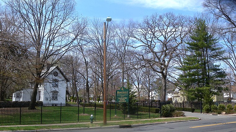
Photo: Jim.henderson, CC0.
Rosedale Cemetery is a cemetery located at the tripoint of Orange, West Orange and Montclair in Essex County, New Jersey, United States. Cyrus Baldwin drew up the original plan for the cemetery in 1840. Rosedale Cemetery is situated 1¼ miles east of Llewellyn Park Social Circle.
Edison Storage Battery Company Building
Building

Photo: Jim.henderson, CC0.
Edison Storage Battery Company Building, is located at 177 Main Street and Lakeside Avenue in West Orange, Essex County, New Jersey, United States. The building was added to the National Register of Historic Places on February 28, 1996. Edison Storage Battery Company Building is situated 4,200 feet southeast of Llewellyn Park Social Circle.
Places in the Area
Nearby places include West Orange and Orange.
West Orange
Town
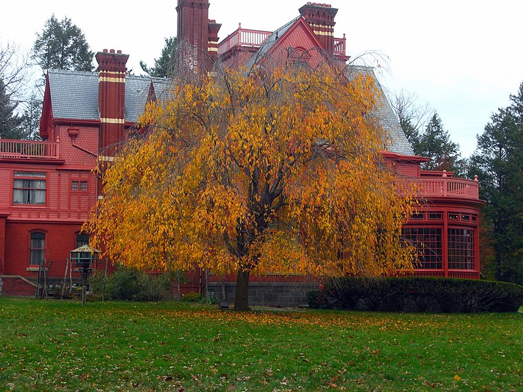
Photo: Jared Kofsky, CC BY-SA 3.0.
West Orange is a suburban township in Essex County, in the U.S. state of New Jersey. As of the 2020 United States census, the township's population was 48,843, an increase of 2,636 from the 2010 census count of 46,207, which in turn reflected an increase of 1,264 from the 44,943 counted in the 2000 census.
Orange
Town
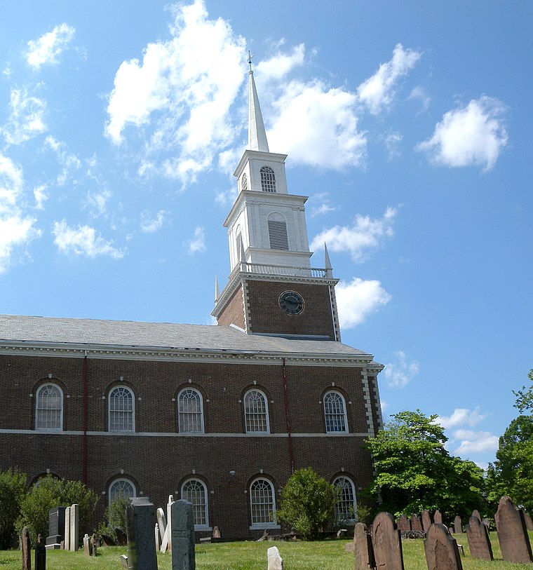
Photo: Jim.henderson, Public domain.
The City of Orange is a township in Essex County, in the U.S. state of New Jersey. As of the 2020 United States census, the township's population was 34,447, an increase of 4,313 from the 2010 census count of 30,134, which in turn reflected a decline of 2,734 from the 32,868 counted in the 2000 census. Orange is situated 1½ miles southeast of Llewellyn Park Social Circle.
The Oranges
The Oranges are a group of four municipalities in Essex County, New Jersey, all of which have the word Orange in their name. The four municipalities are Orange, East Orange, South Orange and West Orange.Llewellyn Park Social Circle
- Type: Shelter
- Location: Essex County, Gateway, New Jersey, Mid-Atlantic, United States, North America
- View on OpenStreetMap
Latitude
40.79077° or 40° 47′ 27″ northLongitude
-74.24523° or 74° 14′ 43″ westOpen location code
87G7QQR3+8WOpenStreetMap ID
node 9996002434OpenStreetMap feature
amenity=shelter
This page is based on OpenStreetMap, Wikidata, and Wikimedia Commons.
We’d love your help improving our open data sources. Thank you for contributing.
Satellite Map
Discover Llewellyn Park Social Circle from above in high-definition satellite imagery.
Notable Places Nearby
Highlights include The Ramble and Llewellyn Park Social Circle Playground.
Nearby Places
Explore places such as Indoor Tennis Court and Llewellyn Park.
Essex County: Must-Visit Destinations
Delve into Newark, Newark Liberty International Airport, Montclair, and Maplewood.
Curious Shelters to Discover
Uncover intriguing shelters from every corner of the globe.
About Mapcarta. Data © OpenStreetMap contributors and available under the Open Database License". Text is available under the CC BY-SA 4.0 license, except for photos, directions, and the map. Photo: King of Hearts, CC BY-SA 3.0.