EN 11-1 Centro de Saúde
EN 11-1 Centro de Saúde is a bus stop in Baixa da Banheira e Vale da Amoreira, Moita Municipality, Setúbal District. EN 11-1 Centro de Saúde is situated nearby to the railway station Apeadeiro de Baixa da Banheira, as well as near the marketplace Mercado da Baixa da Banheira.| Tap on a place to explore it |
Places of Interest Nearby
Highlights include Moinho de Maré em Alhos Vedros and Pillory of Alhos Vedros.
Moinho de Maré em Alhos Vedros

Photo: Wikimedia, Public domain.
Moinho de Maré em Alhos Vedros is situated 1 km east of EN 11-1 Centro de Saúde.
Pillory of Alhos Vedros

Photo: Vitor Oliveira, CC BY-SA 2.0.
Pillory of Alhos Vedros is situated 1¼ km east of EN 11-1 Centro de Saúde.
Alhos Vedros Halt
Railway station

Photo: Rúdisicyon, CC BY-SA 4.0.
Alhos Vedros Halt is a railway station, which is situated 1½ km southeast of EN 11-1 Centro de Saúde.
Places in the Area
Nearby places include Freguesia de Baixa da Banheira and Alhos Vedros.
Freguesia de Baixa da Banheira
Town
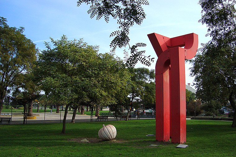
Photo: Xuaxo, CC BY-SA 3.0.
Freguesia de Baixa da Banheira is a town.


EN 11-1 Centro de Saúde
- Type: Bus stop
- Also known as: “Baixa Banheira (EN 11-1) Centro Saude”
- Category: transportation
- Location: Baixa da Banheira e Vale da Amoreira, Moita Municipality, Setúbal District, Portugal, Iberia, Europe
- View on OpenStreetMap
Latitude
38.65859° or 38° 39′ 31″ northLongitude
-9.04087° or 9° 2′ 27″ westNetwork
Carris MetropolitanaOpen location code
8CCGMX55+CMOpenStreetMap ID
node 9996204657OpenStreetMap feature
highway=bus_stopOpenStreetMap feature
public_transport=platform
This page is based on OpenStreetMap, Wikidata, and Wikimedia Commons.
We’d love your help improving our open data sources. Thank you for contributing.
Satellite Map
Discover EN 11-1 Centro de Saúde from above in high-definition satellite imagery.
Notable Places Nearby
Highlights include Apeadeiro de Baixa da Banheira and Mercado da Baixa da Banheira.
Nearby Places
Explore places such as EN 11-1 Centro de Saúde and Baixa da Banheira.
Portugal: Must-Visit Destinations
Delve into Lisbon, Caldas da Rainha, Porto, and Coimbra.
Curious Bus Stops to Discover
Uncover intriguing bus stops from every corner of the globe.
About Mapcarta. Data © OpenStreetMap contributors and available under the Open Database License". Text is available under the CC BY-SA 4.0 license, except for photos, directions, and the map. Photo: Tsy1980, CC BY-SA 4.0.