H
H is in Comuna Agigea, Constanța County. H is situated nearby to the nature reserve Stațiunea Biologică Marină „Prof. Dr. Ion Borcea”, as well as near the town Eforie Nord.| Tap on a place to explore it |
Places of Interest Nearby
Highlights include Agigea Ecluză railway station and German coastal battery Tirpitz.
Agigea Ecluză railway station
Railway station

Photo: TrainSimFan, CC BY-SA 4.0.
Agigea Ecluză railway station is situated 3 km west of H.
German coastal battery Tirpitz
Ruins

Photo: Wikimedia, Public domain.
The German coastal battery Tirpitz, consisting mainly of three large 280 mm guns, was the most powerful coastal battery on the Romanian shore during World War II. German coastal battery Tirpitz is situated 4 km northwest of H.
Places in the Area
Nearby places include Eforie Nord and Agigea.
Eforie Nord
Town
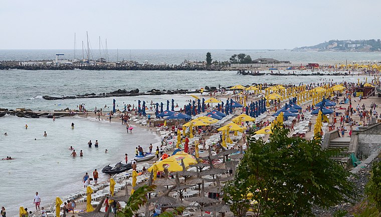
Photo: Rsocol, CC BY-SA 4.0.
Eforie Nord is a town, which is situated 4 km southwest of H.
Agigea
Village

Photo: Aleksasfi, Public domain.
Agigea is a village, which is situated 4 km west of H.
Port of Constanța
Locality
 The Port of Constanța is located in Constanța, Romania, on the western coast of the Black Sea, 179 nautical miles from the Bosphorus Strait and 85 nmi from the Sulina Branch, through which the Danube river flows into the sea. Port of Constanța is situated 5 km north of H.
H
- Type: Industry
- Location: Comuna Agigea, Constanța County, Romania, Balkans, Europe
- View on OpenStreetMap
Latitude
44.09241° or 44° 5′ 33″ northLongitude
28.66194° or 28° 39′ 43″ eastOpen location code
8GPC3MR6+XQOpenStreetMap ID
way 1005839901OpenStreetMap feature
landuse=industrial
This page is based on OpenStreetMap, Wikidata, and Wikimedia Commons.
We’d love your help improving our open data sources. Thank you for contributing.
Satellite Map
Discover H from above in high-definition satellite imagery.
Notable Places Nearby
Highlights include Constanța Ferry-Boat and Stațiunea Biologică Marină „Prof. Dr. Ion Borcea”.
Nearby Places
Explore places such as VBS Truck parking and Cantar containere.
Romania: Must-Visit Destinations
Delve into Bucharest, Cluj-Napoca, Timișoara, and Constanța.
Curious Places to Discover
Uncover intriguing places from every corner of the globe.
About Mapcarta. Data © OpenStreetMap contributors and available under the Open Database License". Text is available under the CC BY-SA 4.0 license, except for photos, directions, and the map. Photo: El bes, CC BY 3.0.