Privatgewässer Fischereiverein Marl e.V.
Privatgewässer Fischereiverein Marl e.V. is in North Rhine-Westphalia, Germany. Privatgewässer Fischereiverein Marl e.V. is situated nearby to the bridge Frentroper Brücke, as well as near the basin Rückhaltebecken.| Tap on a place to explore it |
Places of Interest Nearby
Highlights include St. Paulus and Erlöserkirche.
St. Paulus
Church

Photo: Ziltoidium, CC BY-SA 4.0.
St. Paulus is a church, which is situated 1½ km west of Privatgewässer Fischereiverein Marl e.V..
Erlöserkirche
Arts center
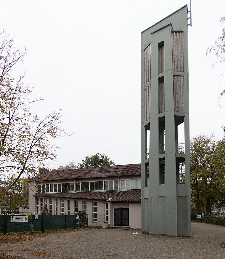
Photo: W.Strickling, CC BY-SA 4.0.
Erlöserkirche is an arts center, which is situated 3 km southeast of Privatgewässer Fischereiverein Marl e.V..
St. Josef
Church

Photo: Stahlkocher, CC BY-SA 3.0.
St. Josef is a church, which is situated 3½ km west of Privatgewässer Fischereiverein Marl e.V..
Places in the Area
Nearby places include Hervest and Marl.
Hervest
Suburb

Photo: Ziltoidium, CC BY-SA 4.0.
Hervest is a suburb, which is situated 3 km west of Privatgewässer Fischereiverein Marl e.V..
Marl
Town

Photo: Threedots, CC BY-SA 3.0.
Marl is a town and a municipality in the district of Recklinghausen, in North Rhine-Westphalia, Germany. It is situated near the Wesel-Datteln Canal, approx. 10 km north-west of Recklinghausen. It has about 90,000 people. Marl is situated 4½ km southeast of Privatgewässer Fischereiverein Marl e.V..
Altendorf-Ulfkotte
Village

Photo: Velopilger, Public domain.
Altendorf-Ulfkotte is a village, which is situated 5 km southwest of Privatgewässer Fischereiverein Marl e.V..
Privatgewässer Fischereiverein Marl e.V.
- Type: Body of water
- Location: North Rhine-Westphalia, Germany, Central Europe, Europe
- View on OpenStreetMap
Latitude
51.67745° or 51° 40′ 39″ northLongitude
7.04234° or 7° 2′ 32″ eastOpen location code
9F39M2GR+XWOpenStreetMap ID
way 101819583OpenStreetMap feature
natural=water
This page is based on OpenStreetMap, Wikidata, and Wikimedia Commons.
We’d love your help improving our open data sources. Thank you for contributing.
Satellite Map
Discover Privatgewässer Fischereiverein Marl e.V. from above in high-definition satellite imagery.
Notable Places Nearby
Highlights include Frentroper Brücke and Rückhaltebecken.
Nearby Places
Explore places such as Bootshaus Freie Kanufahrer Marl e.V. and Schulte-Wermlinghoff.
North Rhine-Westphalia: Must-Visit Destinations
Delve into Cologne, Düsseldorf, Bonn, and Dortmund.
Curious Places to Discover
Uncover intriguing places from every corner of the globe.
About Mapcarta. Data © OpenStreetMap contributors and available under the Open Database License". Text is available under the CC BY-SA 4.0 license, except for photos, directions, and the map. Photo: Daniel Schwen, CC BY-SA 2.5.