Berg- und Wanderhütte
Berg- und Wanderhütte is a wilderness hut in Raschau-Markersbach, Erzgebirgskreis, Saxony. Access is restricted and requires permission. Berg- und Wanderhütte is situated nearby to the peak Ziegenfels, as well as near the water park Freibad Markersbach.| Tap on a place to explore it |
Places of Interest Nearby
Highlights include Hundsmarter and All Saints church.
Hundsmarter
Peak

Photo: Darkone, CC BY-SA 2.5.
Hundsmarter is a mountain of Saxony, southeastern Germany.
All Saints church
Church

Photo: Devilsanddust, CC BY-SA 3.0.
All Saints church is situated 2 km west of Berg- und Wanderhütte.
Knochen
Peak
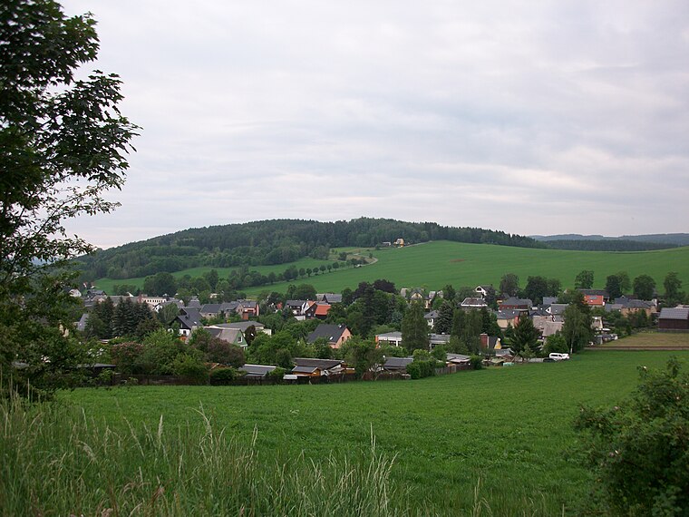
Photo: Aagnverglaser, CC BY-SA 4.0.
The Knochen is a monadnock between the village of Raschau-Markersbach and the town of Schwarzenberg in the Saxon part of the Ore Mountains in southeastern Germany. Its summit lies 551.4 metres above sea level. Knochen is situated 3 km west of Berg- und Wanderhütte.
Places in the Area
Nearby places include Markersbach and Raschau.
Markersbach
Village

Photo: Miebner, CC BY-SA 3.0.
Markersbach is a former municipality on the river Große Mittweida in the district of Erzgebirgskreis in Saxony, Germany. Since 1 January 2008, Markersbach and Raschau have formed the municipality of Raschau-Markersbach.
Raschau
Village

Photo: Kora27, CC BY-SA 4.0.
Raschau is a former municipality in the district of Erzgebirgskreis in Saxony, Germany. Since 1 January 2008, Raschau and Markersbach have formed the municipality Raschau-Markersbach.
Oberscheibe
Village

Photo: Miebner, CC BY-SA 3.0.
Oberscheibe is a village, which is situated 2½ km east of Berg- und Wanderhütte.
Berg- und Wanderhütte
- Access is restricted and requires permission.
- Type: Wilderness hut
- Categories: building, tourism, cabin, and accommodation
- Location: Raschau-Markersbach, Erzgebirgskreis, Saxony, Germany, Central Europe, Europe
- View on OpenStreetMap
Latitude
50.52775° or 50° 31′ 40″ northLongitude
12.86197° or 12° 51′ 43″ eastInception
2003Levels
2Height
6 metres (20 feet)Operator
Erzgebirgszweigverein Markersbach e.V.Open location code
9F2JGVH6+3QOpenStreetMap ID
way 1019807377OpenStreetMap feature
building=cabinOpenStreetMap feature
tourism=wilderness_hut
This page is based on OpenStreetMap, Wikidata, and Wikimedia Commons.
We’d love your help improving our open data sources. Thank you for contributing.
Satellite Map
Discover Berg- und Wanderhütte from above in high-definition satellite imagery.
Notable Places Nearby
Highlights include Ziegenfels and Freibad Markersbach.
Nearby Places
Explore places such as Sportlerheim and Sendeturm Autonomes Fahren.
Saxony: Must-Visit Destinations
Delve into Dresden, Leipzig, Chemnitz, and Meißen.
Curious Wilderness Huts to Discover
Uncover intriguing wilderness huts from every corner of the globe.
About Mapcarta. Data © OpenStreetMap contributors and available under the Open Database License". Text is available under the CC BY-SA 4.0 license, except for photos, directions, and the map. Photo: Taxiarchos228, FAL.