NYC GYM
NYC GYM is a health club in Velenje, Slovenia. NYC GYM is situated nearby to the playground Pozojevo igrišče, as well as near Otroški zabaviščni park Velenje.| Tap on a place to explore it |
Places of Interest Nearby
Highlights include Coal Mining Museum of Slovenia and Velenje.
Coal Mining Museum of Slovenia
Museum
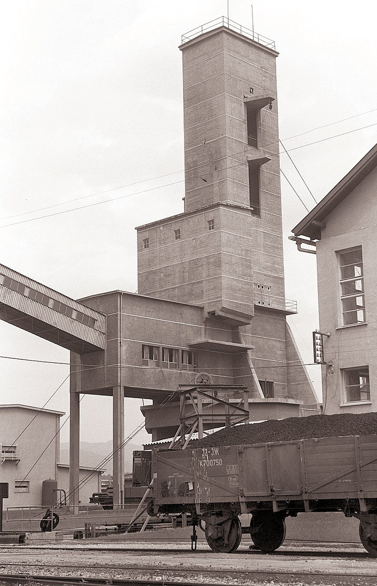
Photo: Wikimedia, Public domain.
Coal Mining Museum of Slovenia is situated 640 metres north of NYC GYM.
Velenje
Railway station

Photo: Ajznponar, CC BY-SA 3.0.
Velenje is a railway station, which is situated 800 metres southeast of NYC GYM.
Velenje Pesje
Railway station

Photo: Ajznponar, CC BY-SA 3.0.
Velenje Pesje is a railway station, which is situated 1 km west of NYC GYM.
Places in the Area
Nearby places include Podgorje and Velenje.
Podgorje
Village
Podgorje is a settlement in the Municipality of Velenje in northern Slovenia. It lies in the foothills of the Ložnica Hills west of the town of Velenje, above the regional road from Velenje to Šoštanj.
Velenje
Town

Photo: Blazev, Public domain.
Velenje is the sixth-largest city of Slovenia, and the seat of the Municipality of Velenje. The city is located in the traditional Slovenian region of Styria, among the rolling green hills of the Šalek Valley, with the Kamnik–Savinja Alps to the west and the Pohorje Mountains to the east.
Škale
Village

Photo: Wikimedia, Public domain.
Škale is a settlement in the Municipality of Velenje in northern Slovenia. It lies just north of the town of Velenje. The area is part of the traditional region of Styria.
NYC GYM
- Type: Health club
- Categories: building, recreation area, and sports location
- Location: Velenje, Slovenia, Central Europe, Europe
- View on OpenStreetMap
Latitude
46.36714° or 46° 22′ 2″ northLongitude
15.09526° or 15° 5′ 43″ eastOpen location code
8FRQ938W+V4OpenStreetMap ID
way 1029283487OpenStreetMap feature
building=yesOpenStreetMap feature
leisure=fitness_centre
This page is based on OpenStreetMap, Wikidata, and Wikimedia Commons.
We’d love your help improving our open data sources. Thank you for contributing.
Satellite Map
Discover NYC GYM from above in high-definition satellite imagery.
Notable Places Nearby
Highlights include Pozojevo igrišče and Otroški zabaviščni park Velenje.
Nearby Places
Explore places such as Mömax and MERKUR Velenje.
Slovenia: Must-Visit Destinations
Delve into Ljubljana, Maribor, Koper, and Celje.
Curious Health Clubs to Discover
Uncover intriguing health clubs from every corner of the globe.
About Mapcarta. Data © OpenStreetMap contributors and available under the Open Database License". Text is available under the CC BY-SA 4.0 license, except for photos, directions, and the map. Photo: Jjtkk, CC BY 3.0.