Corbières Recyclage
Corbières Recyclage is a landfill in Lézignan-Corbières, Arrondissement of Narbonne, Occitanie. Corbières Recyclage is situated nearby to the peak La Fajole, as well as near Mourrel Pounchut.| Tap on a place to explore it |
Places of Interest Nearby
Highlights include Lézignan-Corbières station and Église Saint-Félix de Lézignan-Corbières.
Lézignan-Corbières station
Railway station

Photo: Harig38, CC BY-SA 4.0.
Lézignan-Corbières is a railway station in Lézignan-Corbières, Occitanie, southern France. Within TER Occitanie, it is part of lines 10 and 25. Lézignan-Corbières station is situated 2 km southeast of Corbières Recyclage.
Église Saint-Félix de Lézignan-Corbières
Church

Photo: ArnoLagrange, CC BY-SA 3.0.
Église Saint-Félix de Lézignan-Corbières is a church, which is situated 1½ km south of Corbières Recyclage.
Argens Lock
Lock

Photo: Nancy, CC BY-SA 3.0.
Argens Lock is a single chamber lock on the Canal du Midi. It lies east of the small town of Argens in the Aude region of Languedoc, France. The adjacent locks are Fonserannes Lock 53,868 metres to the east and Pechlaurier Lock 2485 metres to the west. Argens Lock is situated 3 km northeast of Corbières Recyclage.
Places in the Area
Nearby places include Lézignan-Corbières and Canet.
Lézignan-Corbières
Town
Photo: ArnoLagrange, CC BY-SA 3.0.
Lézignan-Corbières is a commune in the Aude department in the Occitanie region in southern France. Situated in the Corbières wine region not far from Narbonne, it has a Vine and Wine Museum.
Canet
Village
Canet is a commune in the Aude department in southern France. Canet is situated 7 km east of Corbières Recyclage.
Ventenac-en-Minervois
Village
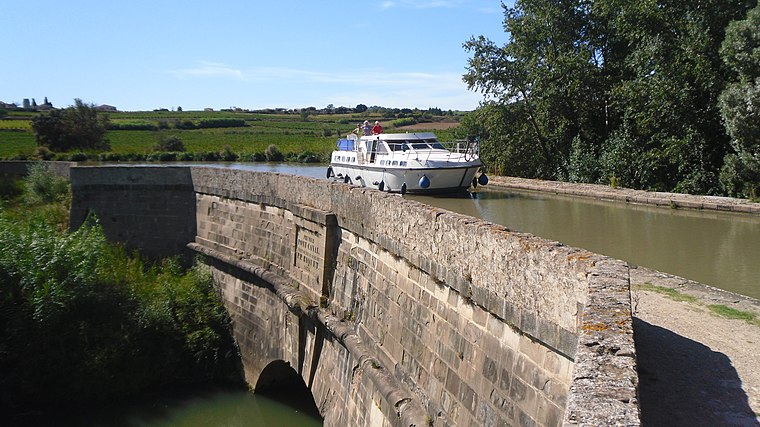
Photo: ArnoLagrange, CC BY-SA 3.0.
Ventenac-en-Minervois is a commune in the Aude department in southern France. Ventenac-en-Minervois is situated 9 km northeast of Corbières Recyclage.
Corbières Recyclage
- Type: Landfill
- Location: Lézignan-Corbières, Arrondissement of Narbonne, Aude, Occitanie, France, Europe
- View on OpenStreetMap
Latitude
43.21666° or 43° 13′ northLongitude
2.75681° or 2° 45′ 25″ eastOpen location code
8FM46Q84+MPOpenStreetMap ID
way 1033192020OpenStreetMap feature
landuse=landfill
This page is based on OpenStreetMap, Wikidata, and Wikimedia Commons.
We’d love your help improving our open data sources. Thank you for contributing.
Satellite Map
Discover Corbières Recyclage from above in high-definition satellite imagery.
Notable Places Nearby
Highlights include La Fajole and Mourrel Pounchut.
Nearby Places
Explore places such as Croix de Sainte-Anne and Croix de Sainte-Suzanne.
Aude: Must-Visit Destinations
Delve into Carcassonne, Narbonne, Limoux, and Leucate.
Curious Landfills to Discover
Uncover intriguing landfills from every corner of the globe.
About Mapcarta. Data © OpenStreetMap contributors and available under the Open Database License". Text is available under the CC BY-SA 4.0 license, except for photos, directions, and the map. Photo: MartinD, CC BY-SA 3.0.