Choice Hills Baptist Church
Choice Hills Baptist Church is a church in Greenville County, South Carolina which is located on Old Buncombe Road. Choice Hills Baptist Church is situated nearby to the power station Furman University Solar Farm, as well as near the theater building Furman Theatre.| Tap on a place to explore it |
- Type: Church
- Denomination: Baptist
- Address: 5910 Old Buncombe Road, Greenville, SC 29609
Places of Interest Nearby
Highlights include Place of Peace.
Place of Peace
Building

Photo: Daderot, Public domain.
The Place of Peace is a Japanese temple that was dismantled and reconstructed on the campus of Furman University in Greenville, South Carolina. Place of Peace is situated 2,600 feet southwest of Choice Hills Baptist Church.
Places in the Area
Nearby places include Travelers Rest and North Main.
Travelers Rest
Town
Travelers Rest is a city in Greenville County, South Carolina. Its population was 7,788 at the 2020 census. It is part of the Greenville-Mauldin-Easley Metropolitan Statistical Area. Travelers Rest is situated 2½ miles north of Choice Hills Baptist Church.
North Main
Neighborhood
North Main is a prestigious and walkable community next to Downtown. This calm, well-established neighborhood enjoys all the perks of being close to the bustle and excitement, while still keeping its privacy and serenity. North Main is situated 5 miles south of Choice Hills Baptist Church.
Woodside Cotton Mill Village Historic District
Neighborhood
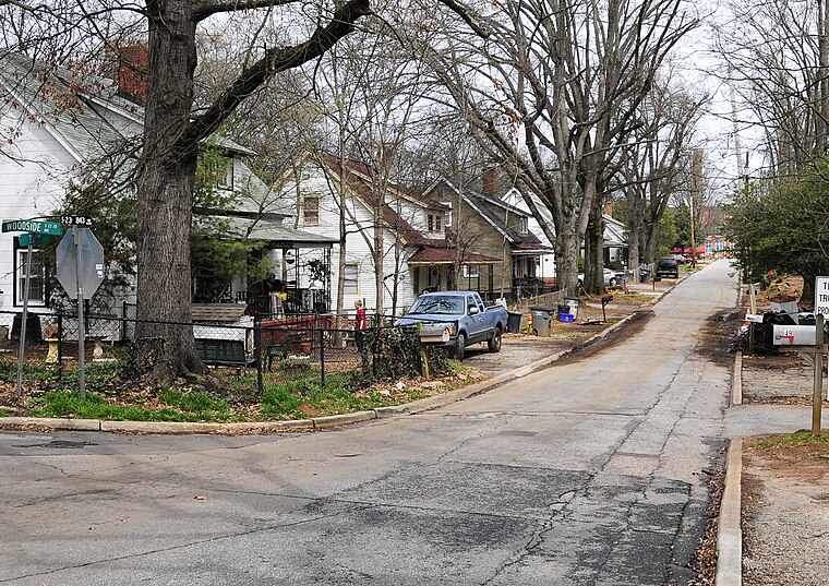
Photo: Bigskybill, CC BY-SA 3.0.
Woodside Cotton Mill Village Historic District is a national historic district located in Greenville County, South Carolina. The district encompasses 278 contributing buildings and 2 contributing sites in an early 20th century urban South Carolina textile mill village. Woodside Cotton Mill Village Historic District is situated 5 miles south of Choice Hills Baptist Church.
Choice Hills Baptist Church
- Categories: building, place of worship, and religion
- Location: Greenville County, South Carolina, South, United States, North America
- View on OpenStreetMap
Latitude
34.93128° or 34° 55′ 53″ northLongitude
-82.42873° or 82° 25′ 43″ westOpen location code
866VWHJC+GGOpenStreetMap ID
way 1033663618OpenStreetMap feature
amenity=place_of_worshipOpenStreetMap feature
building=churchOpenStreetMap attribute
denomination=baptist
This page is based on OpenStreetMap, Wikidata, and Wikimedia Commons.
We’d love your help improving our open data sources. Thank you for contributing.
Satellite Map
Discover Choice Hills Baptist Church from above in high-definition satellite imagery.
Notable Places Nearby
Highlights include Furman University Solar Farm and Furman Theatre.
Nearby Places
Explore places such as C and B.
South Carolina: Must-Visit Destinations
Delve into Columbia, Charleston, Greenville, and Myrtle Beach.
Curious Churches to Discover
Uncover intriguing churches from every corner of the globe.
About Mapcarta. Data © OpenStreetMap contributors and available under the Open Database License". Text is available under the CC BY-SA 4.0 license, except for photos, directions, and the map. Photo: Rastapopulous, CC BY-SA 3.0.