Alzamar
Alzamar is an industrial building in Candelaria, Santa Cruz de Tenerife. Alzamar is situated nearby to the pitch Cancha de La Viuda, as well as near the church Iglesia de San Juanito.| Tap on a place to explore it |
Places of Interest Nearby
Highlights include Basilica of Candelaria and Cave of Achbinico.
Basilica of Candelaria
Church

Photo: Xauxa, CC BY-SA 3.0.
The Basilica of the Royal Marian Shrine of Our Lady of Candelaria is a Roman Catholic minor basilica, the first Marian shrine of the Canary Islands, located in the municipality and city of Candelaria on the island of Tenerife. Basilica of Candelaria is situated 1¼ km north of Alzamar.
Cave of Achbinico
Cave
 Cueva de Achbinico, also called cave of San Blas is a Roman Catholic church and cave located in Candelaria, Tenerife, Canary Islands. After the conquest of the Canary Islands it was the first Christian sanctuary of religious significance. Cave of Achbinico is situated 1¼ km north of Alzamar.
Plaza de la Patrona de Canarias
Square

Photo: Mike Peel, CC BY-SA 4.0.
The Plaza de la Patrona de Canarias is a large square in Candelaria, Tenerife. It is next to the Basilica of Candelaria, a meeting place of pilgrims and festivities celebrating the most important of the municipality. Plaza de la Patrona de Canarias is situated 1½ km north of Alzamar.
Places in the Area
Nearby places include Candelaria and Araya.

Araya
Village

Photo: Martely, CC BY-SA 4.0.
Araya is a village, which is situated 3½ km northwest of Alzamar.
Las Caletillas
Suburb
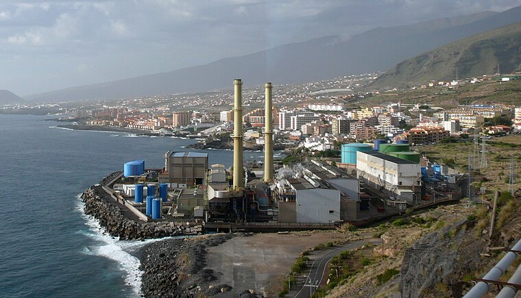
Photo: Jose Mesa, CC BY-SA 2.0.
Las Caletillas is a suburb, which is situated 4 km north of Alzamar.
Alzamar
- Type: Industrial building
- Categories: building and industry
- Location: Candelaria, Santa Cruz de Tenerife, Tenerife, Canary Islands, Spain, Iberia, Europe
- View on OpenStreetMap
Latitude
28.33932° or 28° 20′ 22″ northLongitude
-16.36904° or 16° 22′ 9″ westLevels
3Open location code
7CW58JQJ+P9OpenStreetMap ID
way 103484601OpenStreetMap feature
building=industrial
This page is based on OpenStreetMap, Wikidata, and Wikimedia Commons.
We’d love your help improving our open data sources. Thank you for contributing.
Satellite Map
Discover Alzamar from above in high-definition satellite imagery.
Notable Places Nearby
Highlights include Cancha de La Viuda and Iglesia de San Juanito.
Nearby Places
Explore places such as Tarajal and Playa de la Viuda.
Tenerife: Must-Visit Destinations
Delve into Santa Cruz de Tenerife, San Cristóbal de La Laguna, Teide National Park, and Puerto de la Cruz.
Curious Industrial Buildings to Discover
Uncover intriguing industrial buildings from every corner of the globe.
About Mapcarta. Data © OpenStreetMap contributors and available under the Open Database License". Text is available under the CC BY-SA 4.0 license, except for photos, directions, and the map. Photo: Wikimedia, CC0.