Subestação de Vila Chã
Subestação de Vila Chã is an electrical substation in Santo António da Charneca, Barreiro, Setúbal District. Subestação de Vila Chã is situated nearby to the cemetery Cemitério de Palhais, as well as near the public building Centro de Educação Ambiental da Mata da Machada e Sapal do Rio Coina.| Tap on a place to explore it |
Places of Interest Nearby
Highlights include Alhos Vedros Halt and Moinho de Maré em Alhos Vedros.
Alhos Vedros Halt
Railway station

Photo: Rúdisicyon, CC BY-SA 4.0.
Alhos Vedros Halt is a railway station, which is situated 3½ km north of Subestação de Vila Chã.
Moinho de Maré em Alhos Vedros

Photo: Wikimedia, Public domain.
Moinho de Maré em Alhos Vedros is situated 3½ km north of Subestação de Vila Chã.
Pillory of Alhos Vedros

Photo: Vitor Oliveira, CC BY-SA 2.0.
Pillory of Alhos Vedros is situated 3½ km north of Subestação de Vila Chã.
Places in the Area
Nearby places include Santo André and Freguesia de Baixa da Banheira.
Santo André
Town

Photo: Wikimedia, Public domain.
Santo André is a town, which is situated 2½ km northwest of Subestação de Vila Chã.
Freguesia de Baixa da Banheira
Town
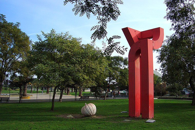
Photo: Xuaxo, CC BY-SA 3.0.
Freguesia de Baixa da Banheira is a town, which is situated 4 km north of Subestação de Vila Chã.
Alhos Vedros
Town

Photo: Rúdisicyon, CC BY-SA 4.0.
Alhos Vedros is a town, which is situated 4 km north of Subestação de Vila Chã.
Subestação de Vila Chã
- Type: Electrical substation
- Category: industry
- Location: Santo António da Charneca, Barreiro, Setúbal District, Portugal, Iberia, Europe
- View on OpenStreetMap
Latitude
38.62338° or 38° 37′ 24″ northLongitude
-9.03772° or 9° 2′ 16″ westOperator
E-REDESOpen location code
8CCGJXF6+9WOpenStreetMap ID
way 1037462094OpenStreetMap feature
landuse=industrial
This page is based on OpenStreetMap, Wikidata, and Wikimedia Commons.
We’d love your help improving our open data sources. Thank you for contributing.
Satellite Map
Discover Subestação de Vila Chã from above in high-definition satellite imagery.
Places with the Same Name
Discover other places named “Subestação de Vila Chã”.
Notable Places Nearby
Highlights include Cemitério de Palhais and Centro de Educação Ambiental da Mata da Machada e Sapal do Rio Coina.
Nearby Places
Explore places such as Quinta do Outeiro - Cemitério and Crematório do Barreiro.
Portugal: Must-Visit Destinations
Delve into Lisbon, Caldas da Rainha, Porto, and Coimbra.
Curious Electrical Substations to Discover
Uncover intriguing electrical substations from every corner of the globe.
About Mapcarta. Data © OpenStreetMap contributors and available under the Open Database License". Text is available under the CC BY-SA 4.0 license, except for photos, directions, and the map. Photo: Vitor Oliveira, CC BY-SA 2.0.