Hofladen Paradies
Hofladen Paradies is a shop in Oldenburg, Western Plains, Lower Saxony which is located on Borchersweg. Hofladen Paradies is situated nearby to the park Dorfplatz, as well as near the sports venue Impuls Fitness.| Tap on a place to explore it |
Places of Interest Nearby
Highlights include Tweelbäker See and Drielaker See.

Drielaker See

Photo: Alchemist-hp, CC BY-SA 3.0.
The Drielaker See is a coastal lake in Osternburg subdistrict of Drielake in the municipal area of Oldenburg, Niedersachsen. Drielaker See is situated 3½ km northwest of Hofladen Paradies.
Osternburg war memorial
Memorial

Photo: Gerd Wiechmann, CC BY-SA 3.0.
Osternburg war memorial is situated 4 km northwest of Hofladen Paradies.
Places in the Area
Nearby places include Sandtange and Iprump.

Iprump
Hamlet

Photo: Dbleicher, Copyrighted free use.
Iprump is a hamlet, which is situated 5 km northeast of Hofladen Paradies.
Sandkrug
Town
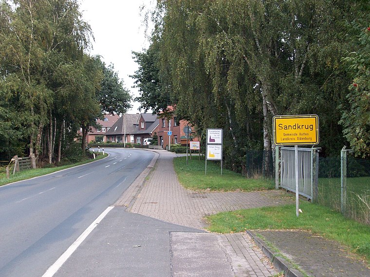
Photo: jul8234, CC BY-SA 3.0.
Sandkrug is a town, which is situated 6 km south of Hofladen Paradies.
Hofladen Paradies
- Type: Shop
- Address: Borchersweg 2, Oldenburg, 26135
- Category: building
- Location: Oldenburg, Western Plains, Lower Saxony, Germany, Central Europe, Europe
- View on OpenStreetMap
Latitude
53.10643° or 53° 6′ 23″ northLongitude
8.27511° or 8° 16′ 30″ eastOpen location code
9F5C474G+H2OpenStreetMap ID
way 103771281OpenStreetMap feature
building=yesOpenStreetMap feature
shop=grocery
This page is based on OpenStreetMap, Wikidata, and Wikimedia Commons.
We’d love your help improving our open data sources. Thank you for contributing.
Satellite Map
Discover Hofladen Paradies from above in high-definition satellite imagery.
Notable Places Nearby
Highlights include Dorfplatz and Impuls Fitness.
Nearby Places
Explore places such as Oldeweg and Oldeweg.
Western Plains: Must-Visit Destinations
Delve into Osnabrück, Delmenhorst, Nordhorn, and Lingen.
Curious Shops to Discover
Uncover intriguing shops from every corner of the globe.
About Mapcarta. Data © OpenStreetMap contributors and available under the Open Database License". Text is available under the CC BY-SA 4.0 license, except for photos, directions, and the map. Photo: Dickelbers, CC BY-SA 3.0.