The Village
The Village is a commercial area in Big Rock Township, Pulaski, Arkansas. The Village is situated nearby to the health club 10 Fitness, as well as near Pleasant Valley Church of Christ.| Tap on a place to explore it |
Places of Interest Nearby
Highlights include Pulaski Academy.
Pulaski Academy
School
Pulaski Academy is a private, independent college preparatory preschool, elementary, and junior/senior high school headed by Garry Sullivan in the Pleasant Valley neighborhood of Little Rock, Arkansas, United States. Pulaski Academy is situated 1¼ miles west of The Village.
Places in the Area
Nearby places include Big Rock Interchange and Cammack Village.
Big Rock Interchange
Locality
The Big Rock Interchange is the I-430/I-630/Chenal Parkway interchange in west Little Rock, Arkansas. The name is derived from a large rock formation discovered during expansion. Big Rock Interchange is situated 1½ miles south of The Village.
Cammack Village
Village
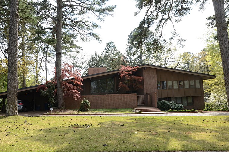
Photo: Valis55, CC BY-SA 3.0.
Cammack Village is a city in Pulaski County, Arkansas, United States. The population was 778 as of the 2020 census. It is part of the Little Rock–North Little Rock–Conway metropolitan area. Cammack Village is situated 2½ miles east of The Village.
Pulaski Heights
Hamlet
Pulaski Heights is a section of the city of Little Rock, Arkansas, located in the north-central portion of the city. Locally, the area is referred to as the Heights. Pulaski Heights is situated 4½ miles east of The Village.
The Village
- Type: Commercial area
- Location: Big Rock Township, Pulaski, Arkansas, South, United States, North America
- View on OpenStreetMap
Latitude
34.77087° or 34° 46′ 15″ northLongitude
-92.39146° or 92° 23′ 29″ westOpen location code
8669QJC5+8COpenStreetMap ID
way 1040353475OpenStreetMap feature
landuse=retail
This page is based on OpenStreetMap, Wikidata, and Wikimedia Commons.
We’d love your help improving our open data sources. Thank you for contributing.
Satellite Map
Discover The Village from above in high-definition satellite imagery.
Places with the Same Name
Discover other places named “The Village”.
Notable Places Nearby
Highlights include 10 Fitness and Pleasant Valley Church of Christ.
Nearby Places
Explore places such as Rodney Parham Rd & Battle St and The Trellis Square Shopping Center.
Arkansas: Must-Visit Destinations
Delve into Little Rock, Fayetteville, Fort Smith, and Jonesboro.
Curious Commercial Areas to Discover
Uncover intriguing commercial areas from every corner of the globe.
About Mapcarta. Data © OpenStreetMap contributors and available under the Open Database License". Text is available under the CC BY-SA 4.0 license, except for photos, directions, and the map. Photo: Wikimedia, CC0.