Kisten Rieder
Kisten Rieder is a factory in Allersberg, Markt, Roth, Bavaria which is located on Am Spitalwald. Kisten Rieder is situated nearby to the fire station Freiwillige Feuerwehr Allersberg, as well as near the bowling alley Kegelbahn.| Tap on a place to explore it |
Places of Interest Nearby
Highlights include St. Wolfgang and Allersberg town hall.
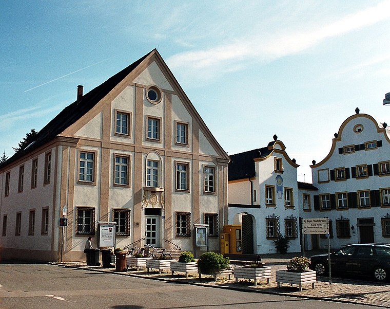
St. Wolfgang
Church

Photo: Derzno, CC BY-SA 4.0.
St. Wolfgang is a church, which is situated 760 metres northwest of Kisten Rieder.
Gilardihaus
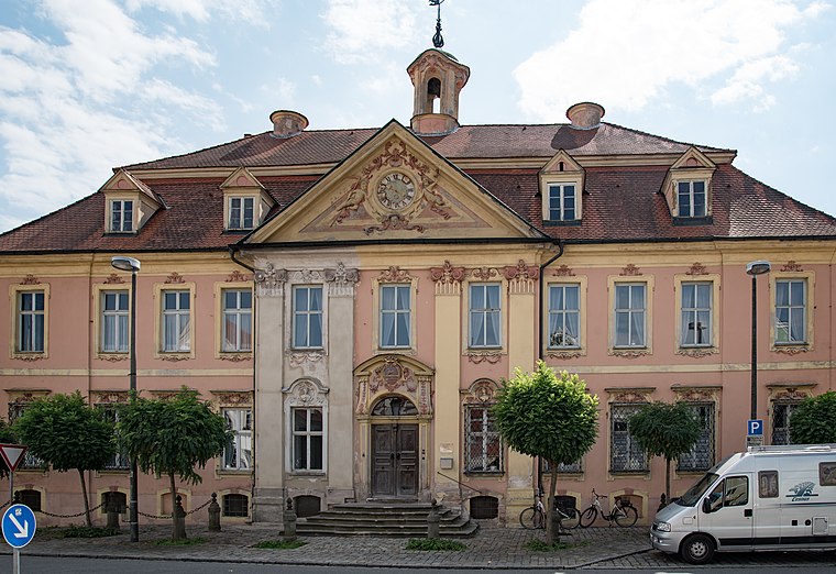
Photo: Tilman2007, CC BY-SA 4.0.
Gilardihaus is situated 1¼ km southwest of Kisten Rieder.
Places in the Area
Nearby places include Allersberg and Eppersdorf.
Allersberg
Town

Photo: Wolkenkratzer, CC BY-SA 4.0.
Allersberg is a municipality in the district of Roth, in Bavaria, Germany.


Kisten Rieder
- Type: Factory
- Address: Am Spitalwald 5, Allersberg, 90584
- Category: industry
- Location: Allersberg, Markt, Roth, Middle Franconia, Franconia, Bavaria, Germany, Central Europe, Europe
- View on OpenStreetMap
Latitude
49.25595° or 49° 15′ 21″ northLongitude
11.25217° or 11° 15′ 8″ eastOpen location code
8FXH7742+9VOpenStreetMap ID
way 1040941322OpenStreetMap feature
man_made=works
This page is based on OpenStreetMap, Wikidata, and Wikimedia Commons.
We’d love your help improving our open data sources. Thank you for contributing.
Satellite Map
Discover Kisten Rieder from above in high-definition satellite imagery.
Notable Places Nearby
Highlights include Freiwillige Feuerwehr Allersberg and Kegelbahn.
Nearby Places
Explore places such as Leitner Reisen GmbH and Automarkt Allersberg.
Middle Franconia: Must-Visit Destinations
Delve into Nuremberg, Erlangen, Fürth, and Ansbach.
Curious Factories to Discover
Uncover intriguing factories from every corner of the globe.
About Mapcarta. Data © OpenStreetMap contributors and available under the Open Database License". Text is available under the CC BY-SA 4.0 license, except for photos, directions, and the map. Photo: Berthold Werner, CC0.