López Mateos
López Mateos is a bus station in Zapopan Municipality, Jalisco. López Mateos is situated nearby to the shopping center Plaza El Mante, as well as near the health club OK GYM.| Tap on a place to explore it |
Places of Interest Nearby
Highlights include Periférico Sur and Santuario Mártires de Cristo Rey light rail station.
Periférico Sur
Railway stop

Photo: Elmerhomerochombo, CC BY-SA 4.0.
Periférico Sur is a railway stop, which is situated 2½ km east of López Mateos.
Santuario Mártires de Cristo Rey light rail station
Railway stop
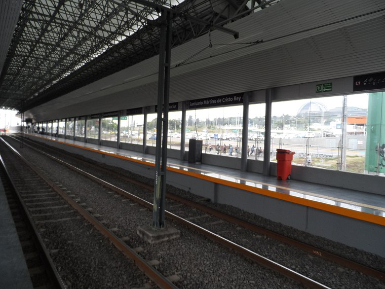
Photo: Elmerhomerochombo, CC BY-SA 4.0.
Santuario Mártires de Cristo Rey is the nineteenth station from north to south, and the second in the opposite direction, of Line 1 of the Sistema de Tren Eléctrico Urbano in Guadalajara, Mexico. Santuario Mártires de Cristo Rey light rail station is situated 3 km east of López Mateos.
España
Railway stop

Photo: Elmerhomerochombo, CC BY-SA 4.0.
España is a railway stop, which is situated 3½ km east of López Mateos.
López Mateos
- Type: Bus station
- Categories: building, public transport, station, and transportation
- Location: Zapopan Municipality, Jalisco, Pacific Coast, Mexico, North America
- View on OpenStreetMap
Latitude
20.61284° or 20° 36′ 46″ northLongitude
-103.42376° or 103° 25′ 26″ westOperator
Operadora MacrobúsNetwork
Mi Macro PeriféricoOpen location code
75GRJH7G+4FOpenStreetMap ID
way 1043264980OpenStreetMap feature
amenity=bus_stationOpenStreetMap feature
building=transportationOpenStreetMap feature
public_transport=station
This page is based on OpenStreetMap, Wikidata, and Wikimedia Commons.
We’d love your help improving our open data sources. Thank you for contributing.
Satellite Map
Discover López Mateos from above in high-definition satellite imagery.
Places with the Same Name
Discover other places named “López Mateos”.
Notable Places Nearby
Highlights include Plaza El Mante and OK GYM.
Nearby Places
Explore places such as Halcón and Colima.
Jalisco: Must-Visit Destinations
Delve into Guadalajara, Puerto Vallarta, Tequila, and Tepatitlan.
Curious Bus Stations to Discover
Uncover intriguing bus stations from every corner of the globe.
About Mapcarta. Data © OpenStreetMap contributors and available under the Open Database License". Text is available under the CC BY-SA 4.0 license, except for photos, directions, and the map. Photo: Davalemacmar, CC BY-SA 3.0.