Dormont Municipal Center
Dormont Municipal Center is in Borough of Dormont, Allegheny County, Pennsylvania. Dormont Municipal Center is situated nearby to the government office Dormont Tax Collector, as well as near the town hall Dormont Borough Offices.| Tap on a place to explore it |
Places of Interest Nearby
Highlights include Dormont Public Library and Potomac station.
Dormont Public Library
Library

Photo: Jim.henderson, CC0.
Dormont Public Library is situated 370 feet southeast of Dormont Municipal Center.
Potomac station
Railway station

Photo: April Sikorski, CC BY-SA 2.0.
Potomac is a station on the Red Line route of Pittsburgh Regional Transit's light rail network. It is located in Dormont, Pennsylvania. The station serves as a small commuter stop, featuring 22 parking spaces. Potomac station is situated 970 feet north of Dormont Municipal Center.
Dormont Junction station
Railway station
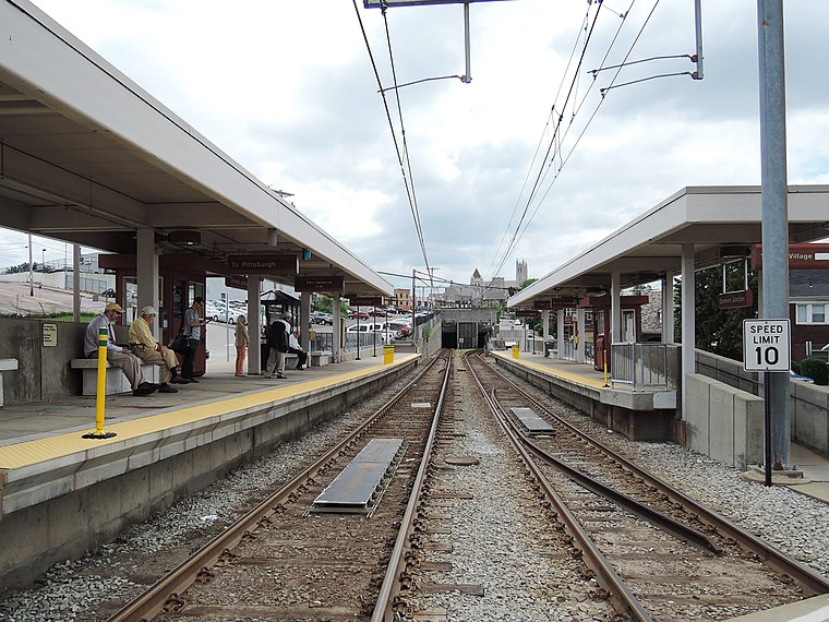
Photo: Jim.henderson, CC0.
Dormont Junction is a station on the Red Line route of Pittsburgh Regional Transit's light rail network. It is located in Dormont, Pennsylvania. The station is an important park and ride facility, featuring 132 spaces. Dormont Junction station is situated 1,500 feet southwest of Dormont Municipal Center.
Places in the Area
Nearby places include West Liberty and Mt. Lebanon.
West Liberty
Neighborhood
West Liberty Borough was a borough in Allegheny County, Pennsylvania, United States from 1876 to 1909. West Liberty Borough was incorporated on March 7, 1876 from the western part of Lower St.
Mt. Lebanon
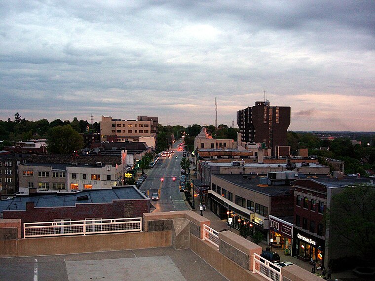
Photo: Pittsburgh7, Public domain.
Mt. Lebanon is an affluent suburb in Allegheny County, Pennsylvania, about seven miles south of Downtown Pittsburgh. Uptown Mt. Lebanon, a business district along Washington Road in the northern part of the township, is one of the more prominent business districts in the area outside of Pittsburgh itself.
Green Tree
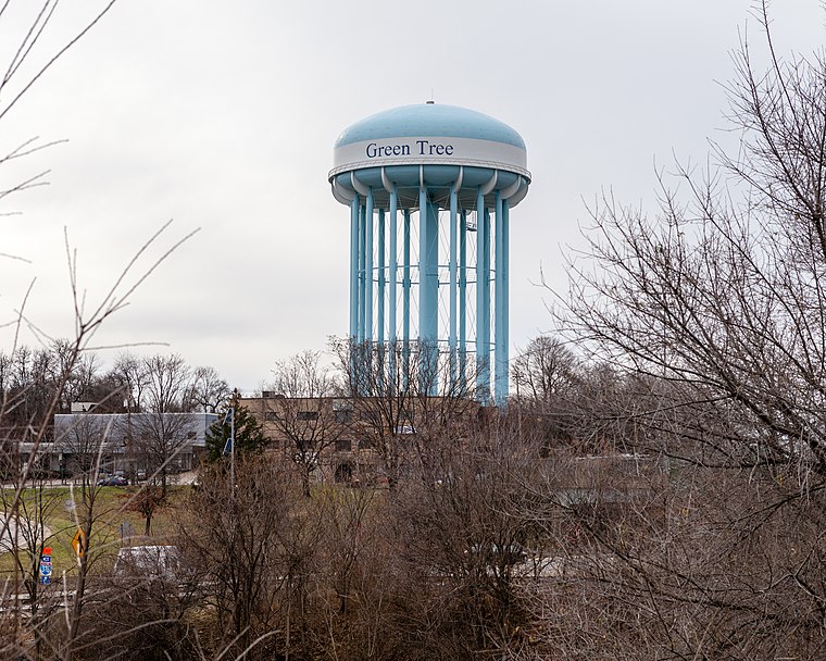
Photo: Generic1139, CC BY-SA 3.0.
Green Tree is a borough of Allegheny County, near Pittsburgh. It is located along I-376, between Pittsburgh to the east and Robinson Township and the Pittsburgh International Airport to the west.
Dormont Municipal Center
Latitude
40.39463° or 40° 23′ 41″ northLongitude
-80.03715° or 80° 2′ 14″ westOpen location code
86GX9XV7+V4OpenStreetMap ID
way 1043443856OpenStreetMap feature
landuse=commercial
This page is based on OpenStreetMap, Wikidata, and Wikimedia Commons.
We’d love your help improving our open data sources. Thank you for contributing.
Satellite Map
Discover Dormont Municipal Center from above in high-definition satellite imagery.
Notable Places Nearby
Highlights include Dormont Tax Collector and Dormont Borough Offices.
Nearby Places
Explore places such as Dormont Free Pantry and Dormont Arts Community Garden.
Allegheny County: Must-Visit Destinations
Delve into Pittsburgh, Oakland, Downtown Pittsburgh, and South Side.
Curious Places to Discover
Uncover intriguing places from every corner of the globe.
About Mapcarta. Data © OpenStreetMap contributors and available under the Open Database License". Text is available under the CC BY-SA 4.0 license, except for photos, directions, and the map. Photo: Albright.kevin.s, CC BY-SA 3.0.