Hunte-Altarm Westrittrum
Hunte-Altarm Westrittrum is in Großenkneten, Oldenburg, Lower Saxony. Hunte-Altarm Westrittrum is situated nearby to the protected area Rittrumer Berge, as well as near the cemetery Grabstätte Hof Duhme.| Tap on a place to explore it |
Places of Interest Nearby
Highlights include Poggenpohlsmoor and Großsteingrab Steenberg.

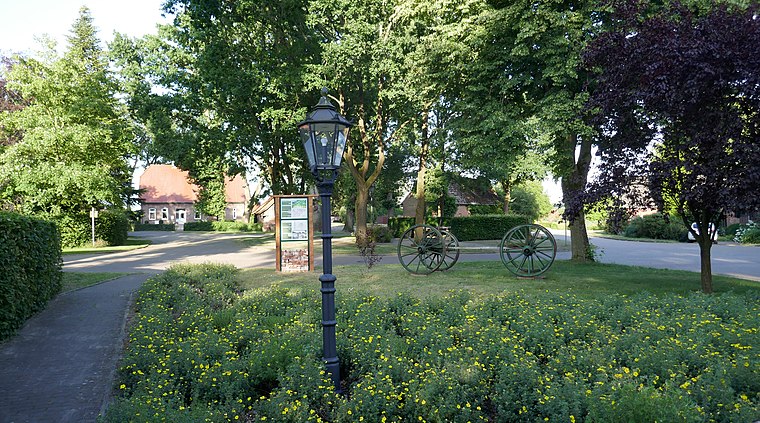
Großsteingrab Steenberg
Archaeological site

Photo: Travus, CC BY-SA 3.0.
Großsteingrab Steenberg is an archaeological site, which is situated 2½ km north of Hunte-Altarm Westrittrum.
Huntloser Moor
Nature reserve

Photo: Ralf Krebs, CC BY 3.0.
Huntloser Moor is a nature reserve, which is situated 3 km southwest of Hunte-Altarm Westrittrum.
Places in the Area
Nearby places include Sandhatten and Neerstedt.
Sandhatten
Village
 Sandhatten is a village, which is situated 4 km north of Hunte-Altarm Westrittrum.

Kirchhatten
Village

Photo: Jacek79, CC BY-SA 3.0.
Kirchhatten is a village, which is situated 5 km north of Hunte-Altarm Westrittrum.
Hunte-Altarm Westrittrum
- Type: Body of water
- Location: Großenkneten, Oldenburg, Lower Saxony, Germany, Central Europe, Europe
- View on OpenStreetMap
Latitude
52.97511° or 52° 58′ 30″ northLongitude
8.33073° or 8° 19′ 51″ eastOpen location code
9F4CX8GJ+27OpenStreetMap ID
way 104496421OpenStreetMap feature
natural=water
This page is based on OpenStreetMap, Wikidata, and Wikimedia Commons.
We’d love your help improving our open data sources. Thank you for contributing.
Satellite Map
Discover Hunte-Altarm Westrittrum from above in high-definition satellite imagery.
Notable Places Nearby
Highlights include Rittrumer Berge and Grabstätte Hof Duhme.
Nearby Places
Explore places such as mensch&und and Rittrumer Straße.
Lower Saxony: Must-Visit Destinations
Delve into Hanover, Göttingen, Brunswick, and Wolfsburg.
Curious Places to Discover
Uncover intriguing places from every corner of the globe.
About Mapcarta. Data © OpenStreetMap contributors and available under the Open Database License". Text is available under the CC BY-SA 4.0 license, except for photos, directions, and the map. Photo: Danapit, CC BY-SA 3.0.