Clubhouse
Clubhouse is a community center in Atlantic County, Jersey Shore, New Jersey. Access is restricted and requires permission. Clubhouse is situated nearby to Bayport on Lakes Bay, as well as near the tourism office Atlantic City Expressway Visitor Welcome Center.| Tap on a place to explore it |
Places in the Area
Nearby places include Pleasantville and Ventnor City.
Pleasantville

Photo: Wikimedia, Public domain.
Pleasantville is a city in Atlantic County, in the U.S. state of New Jersey. As of the 2020 United States census, the city's population was 20,629, its highest decennial count ever and an increase of 380 from the 2010 census count of 20,249, which in turn reflected an increase of 1,237 from the 19,012 counted in the 2000 census.
Ventnor City

Photo: Wikimedia, Public domain.
Ventnor City is a city in Atlantic County, New Jersey. Ventnor is on the center of Absecon Island. This island consists of Ventnor, Margate, Longport and Atlantic City.
Ducktown
Neighborhood
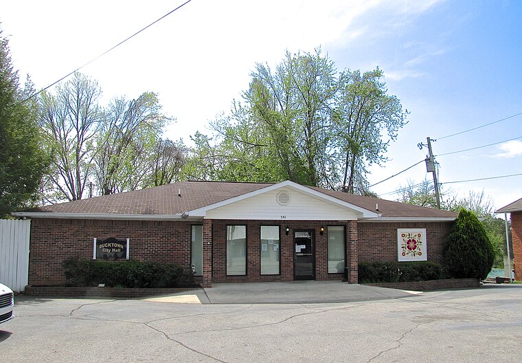
Photo: BrineStans, CC BY 4.0.
Ducktown is a historically Italian American district of Atlantic City, in the U.S. state of New Jersey, stretching from Missouri Avenue to Texas Avenue. The Press of Atlantic City called the neighborhood "Atlantic City's Little Italy". Ducktown is situated 3½ miles southeast of Clubhouse.
Clubhouse
- Access is restricted and requires permission.
- Type: Community center
- Category: building
- Location: Atlantic County, Jersey Shore, New Jersey, Mid-Atlantic, United States, North America
- View on OpenStreetMap
Latitude
39.37827° or 39° 22′ 42″ northLongitude
-74.49495° or 74° 29′ 42″ westOpen location code
87F79GH4+82OpenStreetMap ID
way 1049051759OpenStreetMap feature
amenity=community_centreOpenStreetMap feature
building=yes
This page is based on OpenStreetMap, Wikidata, and Wikimedia Commons.
We’d love your help improving our open data sources. Thank you for contributing.
Satellite Map
Discover Clubhouse from above in high-definition satellite imagery.
Places with the Same Name
Discover other places named “Clubhouse”.
Notable Places Nearby
Highlights include Bayport on Lakes Bay and Atlantic City Expressway Visitor Welcome Center.
Nearby Places
Explore places such as Prism Career Institute and Bay Drive Motel.
Atlantic County: Must-Visit Destinations
Delve into Atlantic City, Ventnor City, Hammonton, and Somers Point.
Curious Community Centers to Discover
Uncover intriguing community centers from every corner of the globe.
About Mapcarta. Data © OpenStreetMap contributors and available under the Open Database License". Text is available under the CC BY-SA 4.0 license, except for photos, directions, and the map. Photo: Wikimedia, CC0.