Terhalle Holzbau GmbH
Terhalle Holzbau GmbH is an industrial building in North Rhine-Westphalia, Germany which is located on Solmsstraße. Terhalle Holzbau GmbH is situated nearby to Tennisclub Blau-Weiß Ottenstein e.V., as well as near the fire station Freiwillige Feuerwehr Ottenstein.| Tap on a place to explore it |
Places of Interest Nearby
Highlights include St. Georg and Schwattet Gatt.
St. Georg
Church

Photo: Konraaad156, CC BY-SA 3.0.
St. Georg is a church, which is situated 650 metres southwest of Terhalle Holzbau GmbH.
Schwattet Gatt
Nature reserve
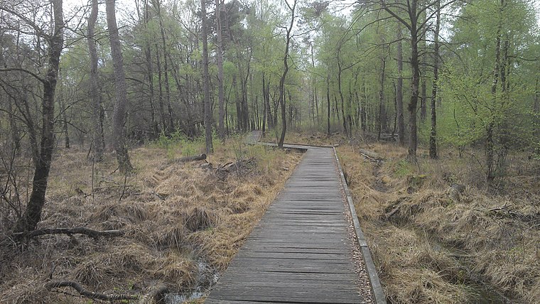
Photo: Spunkinho, CC BY-SA 3.0.
Schwattet Gatt is a nature reserve, which is situated 3½ km west of Terhalle Holzbau GmbH.
St. Martinus
Church

Photo: Muehlenbernd, CC BY-SA 3.0 de.
St. Martinus is a church, which is situated 3½ km east of Terhalle Holzbau GmbH.
Places in the Area
Nearby places include Wüllen and Lünten.
Wüllen
Village

Photo: Michielverbeek, CC BY-SA 3.0.
Wüllen is a village, which is situated 4 km east of Terhalle Holzbau GmbH.
Lünten
Village
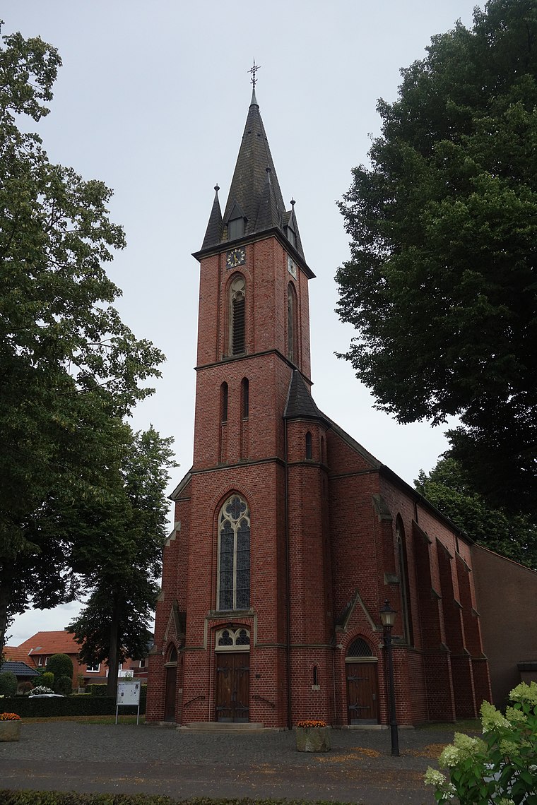
Photo: Vysotsky, CC BY-SA 4.0.
Lünten is a village, which is situated 5 km northwest of Terhalle Holzbau GmbH.
Ahaus
Town

Photo: Wikimedia, CC BY-SA 4.0.
Ahaus is a town in the district of Borken in the state of North Rhine-Westphalia, Germany. It is located near the border with the Netherlands, lying some 20 km south-east of Enschede and 15 km south from Gronau. Ahaus is situated 6 km east of Terhalle Holzbau GmbH.
Terhalle Holzbau GmbH
- Type: Industrial building
- Address: Solmsstraße 46, Ahaus, 48683
- Categories: building, factory, and industry
- Location: North Rhine-Westphalia, Germany, Central Europe, Europe
- View on OpenStreetMap
Latitude
52.07989° or 52° 4′ 48″ northLongitude
6.92143° or 6° 55′ 17″ eastOpen location code
9F483WHC+XHOpenStreetMap ID
way 105509417OpenStreetMap feature
building=industrialOpenStreetMap feature
man_made=works
This page is based on OpenStreetMap, Wikidata, and Wikimedia Commons.
We’d love your help improving our open data sources. Thank you for contributing.
Satellite Map
Discover Terhalle Holzbau GmbH from above in high-definition satellite imagery.
Notable Places Nearby
Highlights include Tennisclub Blau-Weiß Ottenstein e.V. and Freiwillige Feuerwehr Ottenstein.
Nearby Places
Explore places such as Terhalle Zustellung and Autohaus Ottenstein.
North Rhine-Westphalia: Must-Visit Destinations
Delve into Cologne, Düsseldorf, Bonn, and Dortmund.
Curious Industrial Buildings to Discover
Uncover intriguing industrial buildings from every corner of the globe.
About Mapcarta. Data © OpenStreetMap contributors and available under the Open Database License". Text is available under the CC BY-SA 4.0 license, except for photos, directions, and the map. Photo: Daniel Schwen, CC BY-SA 2.5.