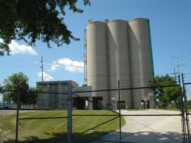
Atlas Tool and Die Works
Atlas Tool and Die Works is a factory in Lyons Township, Cook, Illinois. Atlas Tool and Die Works is situated nearby to the town Lyons, as well as near Saint John’s United Church of Christ.| Tap on a place to explore it |
Places of Interest Nearby
Highlights include Summit station and Chicago Portage National Historic Site.
Summit station
Railway station
Summit is an Amtrak and Metra train station in Summit, Illinois. It is served by Amtrak Illinois' Lincoln Service, which operates daily, and Metra's Heritage Corridor commuter line, which operates only during morning and evening rush hours in peak direction. Summit station is situated 1 mile southeast of Atlas Tool and Die Works.
Chicago Portage National Historic Site
Nature reserve

Photo: Zol87, CC BY-SA 4.0.
The Chicago Portage National Historic Site is a National Historic Site commemorating the importance of the Chicago Portage in Lyons, Cook County, Illinois, United States.
Hofmann Tower
Building

Photo: Teemu08, CC BY-SA 3.0.
Hofmann Tower is a tower in Lyons, Illinois. Built in 1908, it is named after local brewer George Hofmann Jr, who built the tower and a neighboring dam as part of a park that attracted visitors to picnic and ride boats. Hofmann Tower is situated 1 mile north of Atlas Tool and Die Works.
Places in the Area
Nearby places include Lyons and McCook.
Lyons
Town
Photo: Teemu08, CC BY-SA 3.0.
Lyons is a village in Cook County, Illinois, United States. Per the 2020 census, the population was 10,817. The Chicago Portage National Historic Site is located in Lyons.
McCook
Village

Photo: David Wilson, CC BY 2.0.
McCook is a village in Cook County, Illinois, United States, and is an industrial suburb of Chicago. As of the 2020 census, the village population was 249, which is the lowest population of all municipalities in the county.
Summit
Town
 Summit is a city in Cook County, Illinois, United States. The population was 11,161 at the 2020 census. The name Summit, in use since 1836, refers to the highest point on the Chicago Portage between the northeast-flowing Chicago River and the southwest-flowing Des Plaines River located just north of the city.
Atlas Tool and Die Works
- Type: Factory
- Categories: building and industry
- Location: Lyons Township, Cook, Illinois, Midwest, United States, North America
- View on OpenStreetMap
Latitude
41.80638° or 41° 48′ 23″ northLongitude
-87.8247° or 87° 49′ 29″ westOpen location code
86HJR54G+H4OpenStreetMap ID
way 1055552953OpenStreetMap feature
building=yesOpenStreetMap feature
man_made=works
This page is based on OpenStreetMap, Wikidata, and Wikimedia Commons.
We’d love your help improving our open data sources. Thank you for contributing.
Satellite Map
Discover Atlas Tool and Die Works from above in high-definition satellite imagery.
Notable Places Nearby
Highlights include Saint John’s United Church of Christ and McCook Park District.
Nearby Places
Explore places such as 47th Street & Lawndale and Cheeco’s Rebuilders.
Illinois: Must-Visit Destinations
Delve into Chicago, Springfield, Rockford, and Loop.
Curious Factories to Discover
Uncover intriguing factories from every corner of the globe.
About Mapcarta. Data © OpenStreetMap contributors and available under the Open Database License". Text is available under the CC BY-SA 4.0 license, except for photos, directions, and the map. Photo: Rastapopulous, CC BY-SA 3.0.