Sheridan Sewer Lift Station
Sheridan Sewer Lift Station is a pumping station in City of Brigantine, Atlantic County, New Jersey. Sheridan Sewer Lift Station is situated nearby to Bob’s Marina, as well as near Deebold Marina.| Tap on a place to explore it |
Places of Interest Nearby
Highlights include Brigantine Lighthouse.
Brigantine Lighthouse
Brigantine is a city in Atlantic County in the U.S. state of New Jersey. As of the 2020 United States census, the city's population was 7,716, a decrease of 1,734 from the 2010 census count of 9,450, which in turn reflected a decline of 3,144 from the 12,594 counted in the 2000 census. Brigantine Lighthouse is situated 1½ miles southwest of Sheridan Sewer Lift Station.Places in the Area
Nearby places include Brigantine and Atlantic City.
Brigantine

Photo: Dough4872, Public domain.
Brigantine is a city in Atlantic County in the U.S. state of New Jersey. As of the 2020 United States census, the city's population was 7,716, a decrease of 1,734 from the 2010 census count of 9,450, which in turn reflected a decline of 3,144 from the 12,594 counted in the 2000 census.
Atlantic City

Photo: Shinya Suzuki, CC BY 2.0.
The entertainment capital of the Eastern Seaboard, Atlantic City is New Jersey's most popular resort destination. Its streets are familiar to anyone who's ever played Monopoly, but board game fans aren't the only ones who want to "take a walk on the Boardwalk".
Ducktown
Neighborhood
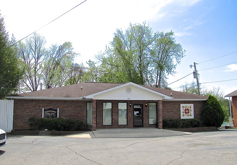
Photo: BrineStans, CC BY 4.0.
Ducktown is a historically Italian American district of Atlantic City, in the U.S. state of New Jersey, stretching from Missouri Avenue to Texas Avenue. The Press of Atlantic City called the neighborhood "Atlantic City's Little Italy". Ducktown is situated 5 miles southwest of Sheridan Sewer Lift Station.
Sheridan Sewer Lift Station
- Type: Pumping station
- Address: 1425
- Category: industry
- Location: City of Brigantine, Atlantic County, Jersey Shore, New Jersey, Mid-Atlantic, United States, North America
- View on OpenStreetMap
Latitude
39.41472° or 39° 24′ 53″ northLongitude
-74.37715° or 74° 22′ 38″ westOpen location code
87F7CJ7F+V4OpenStreetMap ID
way 1055853623OpenStreetMap feature
man_made=pumping_station
This page is based on OpenStreetMap, Wikidata, and Wikimedia Commons.
We’d love your help improving our open data sources. Thank you for contributing.
Satellite Map
Discover Sheridan Sewer Lift Station from above in high-definition satellite imagery.
Notable Places Nearby
Highlights include Bob’s Marina and Deebold Marina.
Nearby Places
Explore places such as Elks Lodge #2428 and Dockside.
Atlantic County: Must-Visit Destinations
Delve into Atlantic City, Hammonton, Ventnor City, and Somers Point.
Curious Pumping Stations to Discover
Uncover intriguing pumping stations from every corner of the globe.
About Mapcarta. Data © OpenStreetMap contributors and available under the Open Database License". Text is available under the CC BY-SA 4.0 license, except for photos, directions, and the map. Photo: Wikimedia, CC0.