Els Rosers
Els Rosers is an apartment building in Calvià, Balearic Islands. Els Rosers is situated nearby to the shopping center Illetes Centre, as well as near L’Auba.| Tap on a place to explore it |
Places of Interest Nearby
Highlights include Caló dels Macs and Fundació Pilar i Joan Miró in Mallorca.
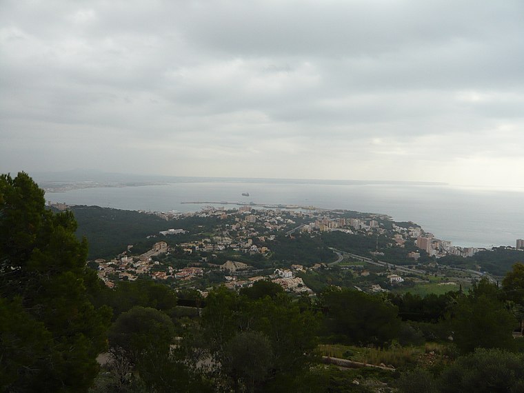
Caló dels Macs
Beach

Photo: Joan Gené, CC BY-SA 4.0.
Caló dels Macs is a beach, which is situated 140 metres north of Els Rosers.
Fundació Pilar i Joan Miró in Mallorca
Museum
 The Fundació Pilar i Joan Miró in Mallorca is a museum in Palma de Mallorca, dedicated to the work of the artist Joan Miró. It comprises a main building exhibiting 6000 works donated by the artist, including paintings, sculptures, drawings, sketches, a library, a sculpture garden, and Miró's former studios Sert and Son Boter. Fundació Pilar i Joan Miró in Mallorca is situated 1½ km northeast of Els Rosers.
Castle of Bendinat
Castle

Photo: DanBi, CC BY-SA 4.0.
Castle of Bendinat is situated 1½ km west of Els Rosers.
Places in the Area
Nearby places include Sant Agustí and Bendinat.

Bendinat
Village
Photo: DanBi, CC BY-SA 4.0.
Bendinat is a seaside village in the municipality of Calvià on the west coast of the island of Majorca, part of the Spanish autonomous community of the Balearic Islands.
Els Rosers
- Type: Apartment building
- Categories: building and residential building
- Location: Calvià, Balearic Islands, Spain, Iberia, Europe
- View on OpenStreetMap
Latitude
39.5448° or 39° 32′ 41″ northLongitude
2.59538° or 2° 35′ 43″ eastOpen location code
8FF4GHVW+W5OpenStreetMap ID
way 1058247608OpenStreetMap feature
building=apartments
This page is based on OpenStreetMap, Wikidata, and Wikimedia Commons.
We’d love your help improving our open data sources. Thank you for contributing.
Satellite Map
Discover Els Rosers from above in high-definition satellite imagery.
In Other Languages
“Els Rosers” goes by many names.
- Catalan: “Els Rosers”
Places with the Same Name
Discover other places named “Els Rosers”.
Notable Places Nearby
Highlights include Illetes Centre and L’Auba.
Nearby Places
Explore places such as Infuze and Iván.
Balearic Islands: Must-Visit Destinations
Delve into Palma de Mallorca, Formentera, Ibiza, and Maó.
Curious Apartment Buildings to Discover
Uncover intriguing apartment buildings from every corner of the globe.
About Mapcarta. Data © OpenStreetMap contributors and available under the Open Database License". Text is available under the CC BY-SA 4.0 license, except for photos, directions, and the map. Photo: anieto2k, CC BY-SA 2.0.