Maynard Street Park
Maynard Street Park is a park in City of Cape Town, Western Cape. Maynard Street Park is situated nearby to the bus station Gardens, as well as near the swimming pool Swimmable.| Tap on a place to explore it |
Places of Interest Nearby
Highlights include Rust en Vreugd and Iziko South African Museum.
Rust en Vreugd
Museum

Photo: Raymond Ellis, CC0.
Rust en Vreugd, is a historic house and garden, located on Buitekant Street at the edge of the central business district of Cape Town, South Africa. It is one of the few remaining 18th-century buildings in the city. Rust en Vreugd is situated 370 metres north of Maynard Street Park.
Iziko South African Museum
Museum
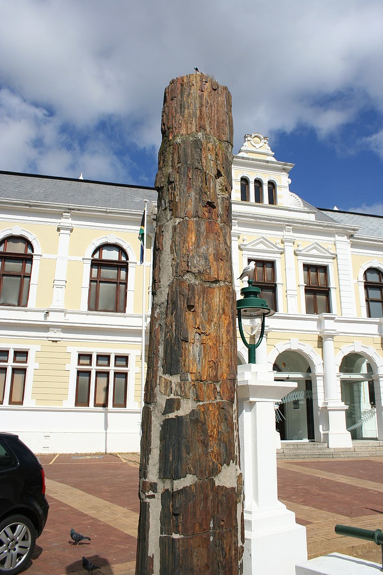
Photo: Discott, CC BY-SA 3.0.
The Iziko South African Museum, formerly the South African Museum, is a South African national museum located in Cape Town. The museum was founded in 1825, the first in the country. Iziko South African Museum is situated 710 metres northwest of Maynard Street Park.
South African Jewish Museum
Museum

Photo: KNewman1, CC BY-SA 3.0.
The South African Jewish Museum is a museum of South African Jewish life, history and identity. The museum is situated in the downtown neighbourhood of Gardens in Cape Town. South African Jewish Museum is situated 510 metres northwest of Maynard Street Park.
Places in the Area
Nearby places include Cape Town and Schotsche Kloof.
Cape Town
 Cape Town is the second most populous city in South Africa. The capital of Western Cape Province, it is also the legislative capital of the nation. Cape Town is on South Africa's southwestern coast close to the Cape of Good Hope, and is the southernmost city on the African continent.
Schotsche Kloof
Suburb
The Bo-Kaap is an area of Cape Town, South Africa formerly known as the Malay Quarter. It is a former racially segregated area, situated on the slopes of Signal Hill above the city centre and is a historical centre of Cape Malay culture in Cape Town.
Foreshore
Suburb
The Foreshore is an area in Cape Town, South Africa, situated in the city's central business district, between the historic city centre and the Port of Cape Town.
Maynard Street Park
- Type: Park
- Category: recreation area
- Location: City of Cape Town, Western Cape, South Africa, Southern Africa, Africa
- View on OpenStreetMap
Latitude
-33.93349° or 33° 56′ 1″ southLongitude
18.42034° or 18° 25′ 13″ eastOperator
City of Cape TownOpen location code
4FRW3C8C+J4OpenStreetMap ID
way 1058542636OpenStreetMap feature
leisure=park
This page is based on OpenStreetMap, Wikidata, and Wikimedia Commons.
We’d love your help improving our open data sources. Thank you for contributing.
Satellite Map
Discover Maynard Street Park from above in high-definition satellite imagery.
Notable Places Nearby
Highlights include Gardens and Swimmable.
Nearby Places
Explore places such as Cape Town Torah High School and Gardens Nursery.
Western Cape: Must-Visit Destinations
Delve into Cape Town, Robben Island, Stellenbosch, and Paarl.
Curious Parks to Discover
Uncover intriguing parks from every corner of the globe.
About Mapcarta. Data © OpenStreetMap contributors and available under the Open Database License". Text is available under the CC BY-SA 4.0 license, except for photos, directions, and the map. Photo: Wikimedia, CC BY-SA 3.0.