Gammel Rønde
Gammel Rønde is a quarter in Syddjurs Municipality, Central Jutland. Gammel Rønde is situated nearby to the locality Haveforeningen Bregnet Bakke, as well as near the hamlet Nappedam.| Tap on a place to explore it |
Places of Interest
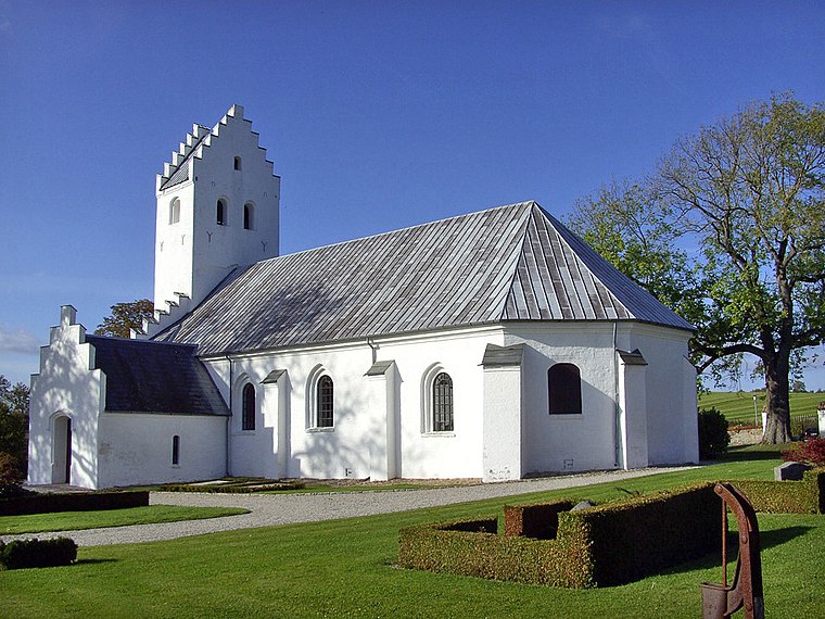
Highlights include Kalø Hovedgård and Bregnet Church.

Karlsladen

Photo: Old Dane, CC BY-SA 4.0.
Karlsladen is a historical barn and visitor centre for the Mols Bjerge National Park in Syddjurs Municipality, Denmark. It is located close to Kalø Castle Ruin and the town Rønde.
Places in the Area
Nearby places include Rønde and Kalø.
Rønde
Village

Photo: Hubertus, CC BY-SA 2.5.
Rønde is a town on the southern part of the peninsula, Djursland in Denmark, Northern Europe, 23 kilometers north-east of the north end of Denmark's second largest city, Aarhus.
Kalø
Locality

Photo: Ajepbah, CC BY-SA 3.0 de.
Kalø is a locality, which is situated 2½ km south of Gammel Rønde.
Følle
Suburb

Photo: Villy Fink Isaksen, CC BY-SA 3.0.
Følle is a suburb of Rønde in Syddjurs Municipality, Denmark. Følle is situated 3 km northwest of Gammel Rønde.
Gammel Rønde
- Type: Quarter
- Category: locality
- Location: Syddjurs Municipality, Central Jutland, Denmark, Nordic countries, Europe
- View on OpenStreetMap
Latitude
56.29752° or 56° 17′ 51″ northLongitude
10.48637° or 10° 29′ 11″ eastOpen location code
9F8G7FXP+2GOpenStreetMap ID
way 1060014053OpenStreetMap feature
place=quarter
This page is based on OpenStreetMap, Wikidata, and Wikimedia Commons.
We’d love your help improving our open data sources. Thank you for contributing.
Satellite Map
Discover Gammel Rønde from above in high-definition satellite imagery.
Localities in the Area
Explore places such as Haveforeningen Bregnet Bakke and Nappedam.
Notable Places Nearby
Highlights include Store Bavnehøj and Rønde Tur-Retursten.
Denmark: Must-Visit Destinations
Delve into Copenhagen, Aarhus, Odense, and Aalborg.
Curious Quarters to Discover
Uncover intriguing quarters from every corner of the globe.
About Mapcarta. Data © OpenStreetMap contributors and available under the Open Database License". Text is available under the CC BY-SA 4.0 license, except for photos, directions, and the map. Photo: Wikimedia, CC BY-SA 3.0.