Frankfurt International School
Frankfurt International School is a school in Wiesbaden, South Hesse, Hesse which is located on Rudolf-Dietz-Straße. Frankfurt International School is situated nearby to the sports venue alte Turnhalle, as well as near the pitch Reitplatz Naurod.| Tap on a place to explore it |
Places of Interest Nearby
Highlights include Schwarze Steinkaut and Kellerskopf.
Schwarze Steinkaut
Nature reserve

Photo: Hans Kastellano, CC BY-SA 4.0.
Schwarze Steinkaut is a nature reserve.

Niedernhausen station
Railway station

Photo: Querido, CC BY-SA 3.0.
Niedernhausen station serves the municipality of Niedernhausen in the German state of Hesse. It is the most important station on the Main-Lahn Railway between the stations of Frankfurt-Höchst and Eschhofen in Limburg an der Lahn. Niedernhausen station is situated 3 km north of Frankfurt International School.
Places in the Area
Nearby places include Wiesbaden-Heßloch and Rambach.
Wiesbaden-Heßloch
Village

Photo: Brühl, Public domain.
Hessloch is a borough of Wiesbaden, the capital of the state of Hessen, Germany. It is the smallest and least-populated of Wiesbaden's boroughs with 663 residents. Wiesbaden-Heßloch is situated 3 km south of Frankfurt International School.
Rambach
Village
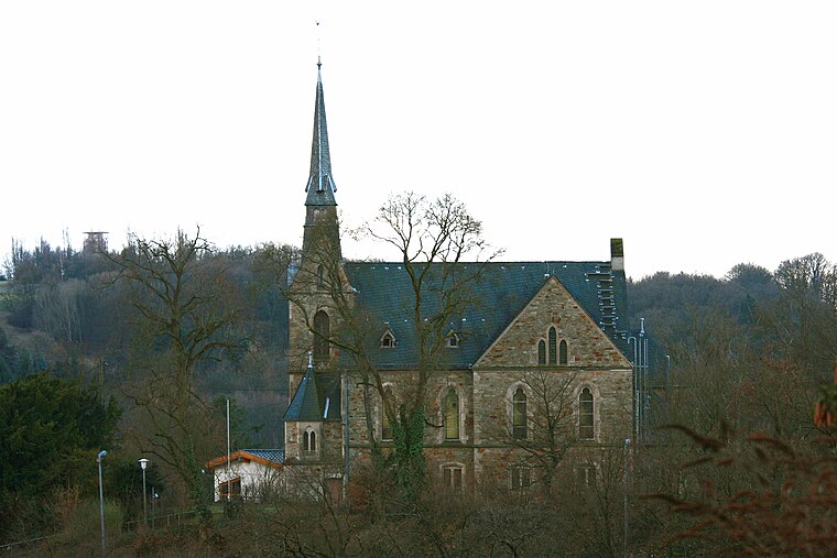
Photo: Wo st 01, CC BY-SA 3.0 de.
Rambach is a village, which is situated 3½ km southwest of Frankfurt International School.
Oberjosbach
Village

Photo: Kreuzschnabel, CC BY-SA 3.0.
Oberjosbach is a village, which is situated 4½ km northeast of Frankfurt International School.
Frankfurt International School
- Type: School
- Address: Rudolf-Dietz-Straße 14, Wiesbaden, 65207
- Category: education
- Location: Wiesbaden, South Hesse, Hesse, Germany, Central Europe, Europe
- View on OpenStreetMap
Latitude
50.13465° or 50° 8′ 5″ northLongitude
8.31079° or 8° 18′ 39″ eastOpen location code
9F2C48M6+V8OpenStreetMap ID
way 1062930504OpenStreetMap feature
amenity=school
This page is based on OpenStreetMap, Wikidata, and Wikimedia Commons.
We’d love your help improving our open data sources. Thank you for contributing.
Satellite Map
Discover Frankfurt International School from above in high-definition satellite imagery.
Places with the Same Name
Discover other places named “Frankfurt International School”.
Notable Places Nearby
Highlights include alte Turnhalle and Reitplatz Naurod.
Nearby Places
Explore places such as Kellerskopfschule and Naurod Schule.
South Hesse: Must-Visit Destinations
Delve into Darmstadt, Bensheim, Lorsch, and Heppenheim.
Curious Places to Discover
Uncover intriguing places from every corner of the globe.
About Mapcarta. Data © OpenStreetMap contributors and available under the Open Database License". Text is available under the CC BY-SA 4.0 license, except for photos, directions, and the map. Photo: Pedelecs, CC BY-SA 3.0.