Stadion Am Bahnhof
Stadion Am Bahnhof is a stadium in Ahaus, Borken, North Rhine-Westphalia. Stadion Am Bahnhof is situated nearby to the sports venue VfB Alstätte 1924 e.V., as well as near the pitch Alstätter Tennisclub e.V..| Tap on a place to explore it |
Places of Interest Nearby
Highlights include St. Mariä Himmelfahrt and Haarmühle.
St. Mariä Himmelfahrt
Church

Photo: Tubantia, CC BY-SA 3.0.
St. Mariä Himmelfahrt is a church, which is situated 660 metres northwest of Stadion Am Bahnhof.
Haarmühle
Watermill

Photo: Gouwenaar, Public domain.
Haarmühle is a watermill, which is situated 3½ km west of Stadion Am Bahnhof.
Places in the Area
Nearby places include Lünten and Buurse.
Lünten
Village
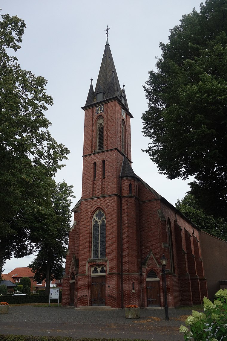
Photo: Vysotsky, CC BY-SA 4.0.
Lünten is a village, which is situated 5 km southwest of Stadion Am Bahnhof.

Broekheurne
Hamlet

Photo: Wikimedia, CC BY-SA 4.0.
Broekheurne is a hamlet, which is situated 7 km northwest of Stadion Am Bahnhof.
Stadion Am Bahnhof
- Type: Stadium
- Categories: recreation area, football, sports location, tourist attraction, and tourism
- Location: Ahaus, Borken, Münster, North Rhine-Westphalia, Germany, Central Europe, Europe
- View on OpenStreetMap
Latitude
52.12498° or 52° 7′ 30″ northLongitude
6.92247° or 6° 55′ 21″ eastOpen location code
9F484WFC+XXOpenStreetMap ID
way 1065934417OpenStreetMap feature
leisure=stadiumOpenStreetMap feature
sport=soccer
This page is based on OpenStreetMap, Wikidata, and Wikimedia Commons.
We’d love your help improving our open data sources. Thank you for contributing.
Satellite Map
Discover Stadion Am Bahnhof from above in high-definition satellite imagery.
Notable Places Nearby
Highlights include VfB Alstätte 1924 e.V. and Alstätter Tennisclub e.V..
Nearby Places
Explore places such as Malteser Hilfsdienst e.V. and Zerlegebetrieb Baumeister GmbH.
North Rhine-Westphalia: Must-Visit Destinations
Delve into Cologne, Düsseldorf, Bonn, and Dortmund.
Curious Stadiums to Discover
Uncover intriguing stadiums from every corner of the globe.
About Mapcarta. Data © OpenStreetMap contributors and available under the Open Database License". Text is available under the CC BY-SA 4.0 license, except for photos, directions, and the map. Photo: Daniel Schwen, CC BY-SA 2.5.