Sportfreunde Gmund-Dürnbach 1899
Sportfreunde Gmund-Dürnbach 1899 is a building in Gmund am Tegernsee, Miesbach, Bavaria which is located on Tölzer Straße. Sportfreunde Gmund-Dürnbach 1899 is situated nearby to the railway stop Finsterwald station, as well as near the cemetery Soldatenfriedhof.| Tap on a place to explore it |
Places of Interest Nearby
Highlights include Gmund station and St. Georg (Georgenried).
Gmund station
Railway station

Photo: GFreihalter, CC BY-SA 4.0.
Gmund station is a railway station, which is situated 750 metres southeast of Sportfreunde Gmund-Dürnbach 1899.
St. Georg (Georgenried)
Church

Photo: Gras-Ober, CC BY-SA 3.0.
St. Georg (Georgenried) is a church, which is situated 1½ km west of Sportfreunde Gmund-Dürnbach 1899.
St. Quirin
Church
 St. Quirin is a church, which is situated 3 km southeast of Sportfreunde Gmund-Dürnbach 1899.
Places in the Area
Nearby places include Marienstein and Bad Wiessee.
Marienstein
Hamlet
Marienstein is a village in the municipality of Waakirchen in the west Upper Bavarian district of Miesbach. Marienstein is situated 3 km west of Sportfreunde Gmund-Dürnbach 1899.
Bad Wiessee
Village
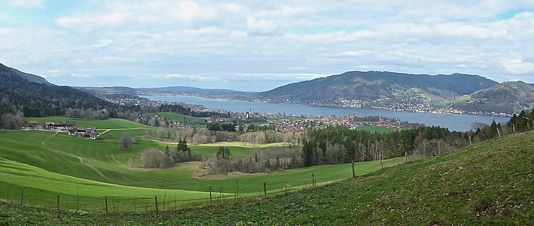
Photo: Ventus55, CC BY-SA 4.0.
Bad Wiessee is a municipality in the district of Miesbach in Upper Bavaria in Germany. Since 1922, it has been a spa town and located on the western shore of the Tegernsee Lake. Bad Wiessee is situated 4½ km south of Sportfreunde Gmund-Dürnbach 1899.
Waakirchen
Village

Photo: Wikimedia, CC BY-SA 3.0.
Waakirchen is a municipality in the district of Miesbach in Bavaria in Germany. At the end of World War II, Japanese American soldiers rescued concentration camp victims on a death march at this village. Waakirchen is situated 4½ km northwest of Sportfreunde Gmund-Dürnbach 1899.
Sportfreunde Gmund-Dürnbach 1899
- Type: Building
- Address: Tölzer Straße 102, Gmund, 83703
- Location: Gmund am Tegernsee, Miesbach, Upper Bavaria, Bavaria, Germany, Central Europe, Europe
- View on OpenStreetMap
Latitude
47.75351° or 47° 45′ 13″ northLongitude
11.72675° or 11° 43′ 36″ eastOpen location code
8FVHQP3G+CMOpenStreetMap ID
way 106971221OpenStreetMap feature
building=yes
This page is based on OpenStreetMap, Wikidata, and Wikimedia Commons.
We’d love your help improving our open data sources. Thank you for contributing.
Satellite Map
Discover Sportfreunde Gmund-Dürnbach 1899 from above in high-definition satellite imagery.
Notable Places Nearby
Highlights include Finsterwald station and Soldatenfriedhof.
Nearby Places
Explore places such as Gmund Realschule (Finsterwald) and Realschule Tegernseer Tal.
Upper Bavaria: Must-Visit Destinations
Delve into Munich, Ingolstadt, Dachau, and Rosenheim.
Curious Buildings to Discover
Uncover intriguing buildings from every corner of the globe.
About Mapcarta. Data © OpenStreetMap contributors and available under the Open Database License". Text is available under the CC BY-SA 4.0 license, except for photos, directions, and the map. Photo: Aconcagua, CC BY-SA 3.0.