Hotel An Der Havel
Hotel An Der Havel is a hotel in Oranienburg, Oberhavel, Brandenburg which is located on Albert-Buchmann-Straße. Hotel An Der Havel is situated nearby to Havelprommenade, as well as near the government office Landratsamt Oberhavel - Haus 1.| Tap on a place to explore it |
- Email: info@hotelanderhavel.de
- Type: Hotel
- Description: hotel in Oranienburg, Germany
- Also known as: “Hotel an der Havel”
- Address: Albert-Buchmann-Straße 1, Oranienburg, 16515
- Wheelchair access: yes
Places of Interest Nearby
Highlights include Oranienburg concentration camp and Oranienburg Palace.
Oranienburg concentration camp
Memorial

Photo: Wikimedia, CC BY-SA 3.0 de.
Oranienburg was an early Nazi concentration camp, one of the first detention facilities established by the Nazis in the state of Prussia when they gained power in 1933. Oranienburg concentration camp is situated 350 metres southwest of Hotel An Der Havel.
Oranienburg Palace
Castle

Photo: Kds11, CC BY-SA 3.0.
Oranienburg Palace is a Schloss located in the town of Oranienburg in Germany. It is the oldest Baroque Schloss in the Margraviate of Brandenburg and was built from 1651 to 1655 by Louise Henriette of Orange-Nassau, the first wife of Frederick William, Elector of Brandenburg, on the site of an older hunting lodge. Oranienburg Palace is situated 480 metres northwest of Hotel An Der Havel.
Oranienburg station
Railway station

Photo: Global Fish, CC BY-SA 3.0.
Oranienburg is a railway station located in Oranienburg, Germany. The station was opened in 1877 is located on the Berlin Northern Railway and the now closed Nauen–Oranienburg railway and Oranienburg–Velten railway. Oranienburg station is situated 670 metres northeast of Hotel An Der Havel.
Places in the Area
Nearby places include Eden Gemeinnützige Obstbau-Siedlung and Sachsenhausen.
Eden Gemeinnützige Obstbau-Siedlung
Neighborhood
Eden Gemeinnützige Obstbau-Siedlung is a fruit-growing cooperative in Oranienburg north of Berlin. The cooperative was founded in 1893 exclusively for vegetarians but since 1901 has accepted membership for anyone who "adopts a healthy lifestyle".
Sachsenhausen
Suburb
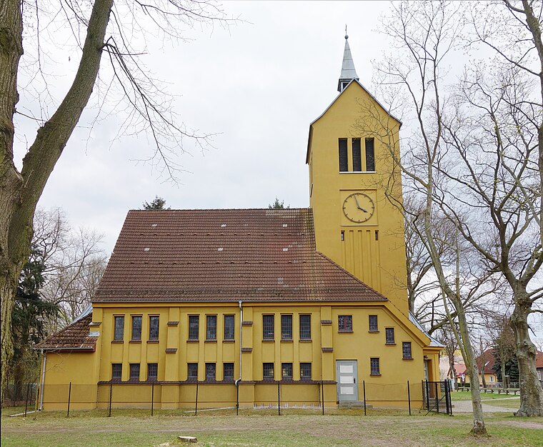
Photo: Hans G. Oberlack, CC BY-SA 4.0.
Sachsenhausen is a district on the Havel River in the north of the town Oranienburg, 35 kilometres north of Berlin in Germany. As of December 2005, it had a population of 2,735. The district's name means 'Houses of the Saxons'. Sachsenhausen is situated 3 km north of Hotel An Der Havel.
Germendorf
Village

Photo: Pascal Volk, CC BY-SA 4.0.
Germendorf is a part of Oranienburg, a town in the district of Oberhavel in northern Brandenburg, Germany. In 2008, Germendorf had a population of 1,818. Germendorf is situated 4½ km west of Hotel An Der Havel.
Hotel An Der Havel
- Categories: building, tourism, and accommodation
- Location: Oranienburg, Oberhavel, Brandenburg, Germany, Central Europe, Europe
- View on OpenStreetMap
Latitude
52.75106° or 52° 45′ 4″ northLongitude
13.24021° or 13° 14′ 25″ eastOpen location code
9F4MQ62R+C3OpenStreetMap ID
way 107692541OpenStreetMap feature
building=yesOpenStreetMap feature
tourism=hotelOpenStreetMap attribute
wheelchair=yesWikidata ID
Q111853082
This page is based on OpenStreetMap, Wikidata, and Wikimedia Commons.
We’d love your help improving our open data sources. Thank you for contributing.
Satellite Map
Discover Hotel An Der Havel from above in high-definition satellite imagery.
In Other Languages
“Hotel An Der Havel” goes by many names.
- German: “Hotel An Der Havel”
Notable Places Nearby
Highlights include Havelprommenade and Landratsamt Oberhavel - Haus 1.
Nearby Places
Explore places such as Havelbar Alte Laterne and Knotenpunktwegweisung Oberhavel.
Brandenburg: Must-Visit Destinations
Delve into Potsdam, Cottbus, Frankfurt an der Oder, and Brandenburg an der Havel.
Curious Hotels to Discover
Uncover intriguing hotels from every corner of the globe.
About Mapcarta. Data © OpenStreetMap contributors and available under the Open Database License". Text is available under the CC BY-SA 4.0 license, except for photos, directions, and the map. Photo: János Balázs, CC BY-SA 2.0.