Juventud Unida
Juventud Unida is a stadium in Tafí Viejo Department, Tucumán. Juventud Unida is situated nearby to the park Plazoleta de la Madre, as well as near the university Instituto de Enseñanza Superior Tafí Viejo.| Tap on a place to explore it |
Places of Interest Nearby
Highlights include Talleres Ferroviarios Tafi Viejo.
Talleres Ferroviarios Tafi Viejo

Photo: Ariel Espinoza, Public domain.
Talleres Ferroviarios Tafi Viejo is situated 1 km east of Juventud Unida.
Places in the Area
Nearby places include Tafi Viejo and Yerba Buena.
Tafi Viejo

Photo: rodoluca, CC BY-SA 3.0.
Tafi Viejo is a town in the Tucuman province in the Andean Northwest region of Argentina. It doesn't really have any tourist attractions, except for a private park called "Alpa Puyo" where you can spend the day practising sports, walking, or simply sunbathing surrounded by the lush, always-green foliage.
Yerba Buena
Town
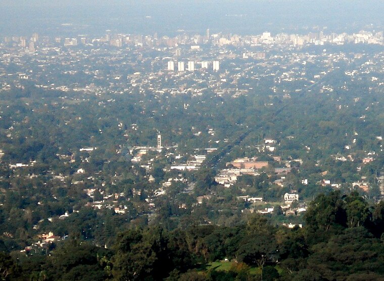
Photo: Jlazarte, Public domain.
Yerba Buena is the capital of the Yerba Buena Department in the province of Tucumán, Argentina. It is located at an altitude of around 466 metres. The city of Yerba Buena is the most urbanized area of the department. Yerba Buena is situated 9 km south of Juventud Unida.
Juventud Unida
- Type: Stadium
- Categories: recreation area, football, sports location, tourist attraction, and tourism
- Location: Tafí Viejo Department, Tucumán, Andean Northwest, Argentina, South America
- View on OpenStreetMap
Latitude
-26.73392° or 26° 44′ 2″ southLongitude
-65.26294° or 65° 15′ 47″ westOpen location code
575P7P8P+CROpenStreetMap ID
way 108014368OpenStreetMap feature
leisure=stadiumOpenStreetMap feature
sport=soccer
This page is based on OpenStreetMap, Wikidata, and Wikimedia Commons.
We’d love your help improving our open data sources. Thank you for contributing.
Satellite Map
Discover Juventud Unida from above in high-definition satellite imagery.
Places with the Same Name
Discover other places named “Juventud Unida”.
Notable Places Nearby
Highlights include Plazoleta de la Madre and Instituto de Enseñanza Superior Tafí Viejo.
Nearby Places
Explore places such as Escuela Fray Calletano Rodrigues and Instituto Profesional De Educación Para El Progreso.
Tucumán: Must-Visit Destinations
Delve into San Miguel de Tucumán, Tafi Viejo, and Amaicha del Valle.
Curious Stadiums to Discover
Uncover intriguing stadiums from every corner of the globe.
About Mapcarta. Data © OpenStreetMap contributors and available under the Open Database License". Text is available under the CC BY-SA 4.0 license, except for photos, directions, and the map. Photo: Wikimedia, CC0.