Lago Calmo
Lago Calmo is in San Lorenzo Department, Santa Fe. Lago Calmo is situated nearby to the sports venue Club Bancario, as well as near Raúl Arino.| Tap on a place to explore it |
Places in the Area
Nearby places include Ibarlucea and Funes.
Ibarlucea
Village
Ibarlucea is a town in the province of Santa Fe, Argentina. It has 4,402 inhabitants per the 2010 census. It is located on National Route 34, immediately north-west of Rosario, forming part of the Greater Rosario metropolitan area, and 155 km south of the provincial capital Santa Fe. Ibarlucea is situated 3 km southeast of Lago Calmo.
Funes
Town

Photo: Mweper, CC BY-SA 4.0.
Funes is a small affluent city in the province of Santa Fe, Argentina, located within the metropolitan area of Greater Rosario, about 15 km west from downtown Rosario. Funes is situated 9 km south of Lago Calmo.
Capitán Bermúdez
Town
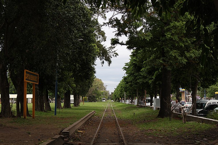
Photo: Sofia cimolai, CC BY-SA 4.0.
Capitán Bermúdez is a city in the province of Santa Fe, Argentina, located within the metropolitan area of Greater Rosario, on the western shore of the Paraná River. Capitán Bermúdez is situated 10 km east of Lago Calmo.
Lago Calmo
- Type: Construction
- Location: San Lorenzo Department, Santa Fe, Pampas, Argentina, South America
- View on OpenStreetMap
Latitude
-32.8373° or 32° 50′ 14″ southLongitude
-60.81698° or 60° 49′ 1″ westOperator
Cinco LagosOpen location code
47VX557M+36OpenStreetMap ID
way 1082334518OpenStreetMap feature
landuse=construction
This page is based on OpenStreetMap, Wikidata, and Wikimedia Commons.
We’d love your help improving our open data sources. Thank you for contributing.
Satellite Map
Discover Lago Calmo from above in high-definition satellite imagery.
Places with the Same Name
Discover other places named “Lago Calmo”.
Notable Places Nearby
Highlights include Club Bancario and Raúl Arino.
Nearby Places
Explore places such as Lago Manso and Lago Claro.
Curious Places to Discover
Uncover intriguing places from every corner of the globe.
About Mapcarta. Data © OpenStreetMap contributors and available under the Open Database License". Text is available under the CC BY-SA 4.0 license, except for photos, directions, and the map. Photo: Wikimedia, CC0.